
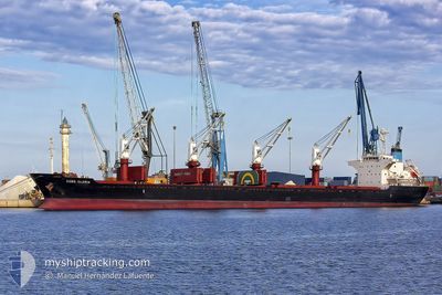
KOBE GLORIA
Bulk Carrier
Current Trip
NAGOYA-JAPAN
| Time Travelled | 4 days |
|---|---|
| Remaining Time | --- |
| Distance Travelled | 1080.37 nm |
| Remaining Distance | --- |
| AVG Speed | 10.4 Knots |
| MAX Speed | 17.9 Knots |
| AVG Wind | 18.3 knots |
| MAX Wind | 30.2 knots |
| MIN Temp | 1.3°C / 34.34°F |
| MAX Temp | 13.8°C / 56.84°F |
| Draught | 9.9 m |
| Position Received | 4 d ago |
Current Position
| Longitude | --- |
|---|---|
| Latitude | --- |
| Status | Under way using engine |
| Speed | 13.2 Knots |
| Course | 126.4° |
| Area | Philippine Sea |
| Station | T-AIS |
| Position Received | 4 d ago |
Info
Information
The current position of KOBE GLORIA is in Philippine Sea with coordinates 34.65915° / 136.84646° as reported on 2025-12-30 10:06 by AIS to our vessel tracker app. The vessel's current speed is 13.2 Knots
The vessel KOBE GLORIA (IMO: 9668324, MMSI: 352396000) is a Bulk Carrier that was built in 2013 ( 13 years old ). It's sailing under the flag of [PA] Panama.
In this page you can find informations about the vessels current position, last detected port calls, and current voyage information. If the vessels is not in coverage by AIS you will find the latest position.
The current position of KOBE GLORIA is detected by our AIS receivers and we are not responsible for the reliability of the data. The last position was recorded while the vessel was in Coverage by the Ais receivers of our vessel tracking app.
The current draught of KOBE GLORIA as reported by AIS is 9.9 meters
Weather
| Temperature | 2.5°C / 36.5°F |
|---|---|
| Wind Speed | 7 knots |
| Direction | 275° W |
| Pressure | 1027.1 hPa |
| Humidity | 69.6 % |
| Cloud Coverage | 100 % |
Featured Company
Last Trips
Events
| Time | Event | Details | Position / Dest | Info |
|---|---|---|---|---|
| 2026-01-03 14:59 | STOP Moving | 16.79 nm, North of YANTAI |
37.84419 / 121.29703
NAGOYA-JAPAN
|
Speed: 0.3 kn Course: 174° |
| 2025-12-30 10:12 | Status Changed | Default Under way using engine |
34.64440 / 136.86990
NAGOYA-JAPAN
|
Speed: 13.2 kn Course: 126.4° |
| 2025-12-30 10:06 | Change Sea Area | Japanese part of the Philippine Sea Philippines part of the Philippine Sea |
34.65915 / 136.84646
Philippine Sea
|
Speed: 13.2 kn Course: 126.4° |
| 2025-12-30 10:06 | OUT of Coverage |
34.65915 / 136.84646
Philippine Sea
|
Speed: 13.2 kn Course: 126.4° |
|
| 2025-12-30 10:05 | Status Changed | Under way using engine Default |
34.66201 / 136.84171
NAGOYA-JAPAN
|
Speed: 13.2 kn Course: 147° |
| 2025-12-30 10:01 | IN Coverage |
34.65915 / 136.84646
Philippine Sea
|
Speed: 13.2 kn Course: 126.4° |
|
| 2025-12-30 08:25 | PORT DEPARTURE |
|
34.98985 / 136.81674
NAGOYA-JAPAN
|
Speed: 11.8 kn Course: 214° |
| 2025-12-30 08:01 | START Moving |
35.05488 / 136.86078
[JP] NAGOYA
|
Speed: 10.7 kn Course: 197° |
|
| 2025-12-25 22:28 | STOP Moving |
35.07209 / 136.86406
[JP] NAGOYA
|
Speed: 0.3 kn Course: 323° |
|
| 2025-12-25 21:36 | PORT ARRIVAL |
|
34.99147 / 136.82086
[JP] NAGOYA
|
Speed: 10.8 kn Course: 33° |