
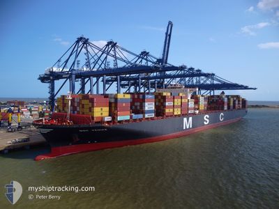
MSC VENICE
Cargo
Current Trip
| Time Travelled | 23 days |
|---|---|
| Remaining Time | --- |
| Distance Travelled | 8457.28 nm |
| Remaining Distance | --- |
| AVG Speed | 15.4 Knots |
| MAX Speed | 20.4 Knots |
| AVG Wind | 12.7 knots |
| MAX Wind | 31.3 knots |
| MIN Temp | 19.2°C / 66.56°F |
| MAX Temp | 29.6°C / 85.28°F |
| Draught | 13 m |
| Position Received | 8 d ago |
Current Position
| Longitude | --- |
|---|---|
| Latitude | --- |
| Status | Under way using engine |
| Speed | 13 Knots |
| Course | 324° |
| Area | South Atlantic Ocean |
| Station | T-AIS |
| Position Received | 8 d ago |
Info
Information
The current position of MSC VENICE is in South Atlantic Ocean with coordinates -34.00518° / 17.90505° as reported on 2025-02-24 16:54 by AIS to our vessel tracker app. The vessel's current speed is 13 Knots and is heading at the port of FELIXSTOWE. The estimated time of arrival as calculated by MyShipTracking vessel tracking app is 2025-03-12 17:00 LT
The vessel MSC VENICE (IMO: 9647473, MMSI: 636017408) is a Cargo It's sailing under the flag of [LR] Liberia.
In this page you can find informations about the vessels current position, last detected port calls, and current voyage information. If the vessels is not in coverage by AIS you will find the latest position.
The current position of MSC VENICE is detected by our AIS receivers and we are not responsible for the reliability of the data. The last position was recorded while the vessel was in Coverage by the Ais receivers of our vessel tracking app.
The current draught of MSC VENICE as reported by AIS is 13 meters
Weather
| Temperature | 27.6°C / 81.68°F |
|---|---|
| Wind Speed | 8 knots |
| Direction | 257° WSW |
| Pressure | 1011 hPa |
| Humidity | 76.8 % |
| Cloud Coverage | 100 % |
Featured Company
Last Port Calls
Most Visited Ports (Last year)
| Port | Arrivals | |
|---|---|---|
| 4 | ||
| 3 | ||
| 3 | ||
| 2 | ||
| 2 | ||
| 2 |
Last Trips
| Origin | Departure | Destination | Arrival | Distance | |
|---|---|---|---|---|---|
| 2025-02-04 19:09 | 2025-02-09 00:57 | 1490.78 nm | |||
| 2025-01-23 22:41 | 2025-02-04 05:29 | 1301.53 nm | |||
| 2025-01-18 15:31 | 2025-01-23 01:00 | 847.06 nm | |||
| 2025-01-13 20:46 | 2025-01-17 14:48 | 1497.44 nm | |||
| 2024-12-14 23:27 | 2025-01-12 14:58 | 12219.07 nm |
Events
| Time | Event | Details | Position / Dest | Info |
|---|---|---|---|---|
| 2025-02-24 16:59 | Status Changed | Default Under way using engine |
-33.99051 / 17.89171
GBFXT
|
Speed: 13 kn Course: 324° |
| 2025-02-24 16:54 | OUT of Coverage |
-34.00518 / 17.90505
South Atlantic Ocean
GBFXT
|
Speed: 13 kn Course: 324° |
|
| 2025-02-24 15:50 | Status Changed | Under way using engine Default |
-34.20291 / 18.08666
GBFXT
|
Speed: 16.4 kn Course: 324° |
| 2025-02-24 15:48 | Status Changed | Default Under way using engine |
-34.21252 / 18.09540
GBFXT
|
Speed: 16.2 kn Course: 322.8° |
| 2025-02-24 15:19 | Status Changed | Under way using engine Default |
-34.32014 / 18.19199
GBFXT
|
Speed: 16.5 kn Course: 324° |
| 2025-02-24 15:03 | Status Changed | Default Under way using engine |
-34.37624 / 18.24247
GBFXT
|
Speed: 16.3 kn Course: 323.5° |
| 2025-02-24 14:34 | Status Changed | Under way using engine Default |
-34.48711 / 18.33849
GBFXT
|
Speed: 16.3 kn Course: 325° |
| 2025-02-24 14:32 | Status Changed | Default Under way using engine |
-34.49305 / 18.34348
GBFXT
|
Speed: 16.4 kn Course: 325.5° |
| 2025-02-24 14:09 | Status Changed | Under way using engine Default |
-34.55398 / 18.44095
GBFXT
|
Speed: 16.3 kn Course: 290° |
| 2025-02-24 13:48 | Status Changed | Default Under way using engine |
-34.58579 / 18.55533
GBFXT
|
Speed: 16.8 kn Course: 290.7° |