
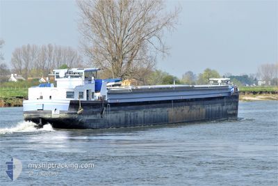
ANTHEMIOS
Not available
Current Trip
ANVERS
| Time Travelled | 20 days |
|---|---|
| Remaining Time | --- |
| Distance Travelled | 285.10 nm |
| Remaining Distance | --- |
| AVG Speed | 7.5 Knots |
| MAX Speed | 9.5 Knots |
| AVG Wind | 6.6 knots |
| MAX Wind | 14.2 knots |
| MIN Temp | 6.4°C / 43.52°F |
| MAX Temp | 12°C / 53.6°F |
| Draught | 0.1 m |
| Position Received | 4 d ago |
Current Position
| Longitude | --- |
|---|---|
| Latitude | --- |
| Status | Under way using engine |
| Speed | 9.2 Knots |
| Course | 40.7° |
| Area | North Sea |
| Station | T-AIS |
| Position Received | 4 d ago |
Info
Information
The current position of ANTHEMIOS is in North Sea with coordinates 48.95332° / 2.17336° as reported on 2025-12-17 15:58 by AIS to our vessel tracker app. The vessel's current speed is 9.2 Knots
The vessel ANTHEMIOS (MMSI: 226002320) is a Not available It's sailing under the flag of [FR] France.
In this page you can find informations about the vessels current position, last detected port calls, and current voyage information. If the vessels is not in coverage by AIS you will find the latest position.
The current position of ANTHEMIOS is detected by our AIS receivers and we are not responsible for the reliability of the data. The last position was recorded while the vessel was in Coverage by the Ais receivers of our vessel tracking app.
The current draught of ANTHEMIOS as reported by AIS is 0.1 meters
Weather
| Temperature | 9.7°C / 49.46°F |
|---|---|
| Wind Speed | 4 knots |
| Direction | 206° SSW |
| Pressure | 1019.3 hPa |
| Humidity | 74.6 % |
| Cloud Coverage | 54 % |
Featured Company
Most Visited Ports (Last year)
| Port | Arrivals | |
|---|---|---|
| 11 | ||
| 2 | ||
| 2 | ||
| 1 | ||
| 1 | ||
| 1 |
Events
| Time | Event | Details | Position / Dest | Info |
|---|---|---|---|---|
| 2025-12-17 15:58 | OUT of Coverage |
48.95332 / 2.17337
North Sea
|
Speed: 9.2 kn Course: 40.7° |
|
| 2025-12-17 15:58 | IN Coverage |
48.95332 / 2.17337
North Sea
|
Speed: 9.2 kn Course: 40.7° |
|
| 2025-12-17 14:16 | OUT of Coverage |
48.92273 / 2.22326
North Sea
|
Speed: 8.2 kn Course: 228.2° |
|
| 2025-12-17 11:28 | IN Coverage |
48.82934 / 2.38599
North Sea
|
Speed: 9 kn Course: 322.9° |
|
| 2025-12-16 16:59 | OUT of Coverage |
48.62828 / 2.46388
North Sea
|
Speed: Course: 0° |
|
| 2025-12-16 16:59 | IN Coverage |
48.62828 / 2.46388
North Sea
|
Speed: Course: 0° |
|
| 2025-12-14 19:22 | OUT of Coverage |
48.63907 / 2.44792
North Sea
|
Speed: Course: 0° |
|
| 2025-12-14 19:22 | IN Coverage |
48.63907 / 2.44792
North Sea
|
Speed: Course: 0° |
|
| 2025-12-14 07:41 | OUT of Coverage |
48.86277 / 2.32072
North Sea
|
Speed: 3.2 kn Course: 110.8° |
|
| 2025-12-14 07:19 | IN Coverage |
48.86301 / 2.29894
North Sea
|
Speed: 2.9 kn Course: 77.7° |