
DA JI
Cargo
Current Trip
AO LUANDA
| Time Travelled | 15 days |
|---|---|
| Remaining Time | --- |
| Distance Travelled | 2003.02 nm |
| Remaining Distance | --- |
| AVG Speed | 11.1 Knopen |
| MAX Speed | 13.7 Knopen |
| AVG Wind | 11.1 knots |
| MAX Wind | 21.1 knots |
| MIN Temp | 15°C / 59°F |
| MAX Temp | 30.3°C / 86.54°F |
| Diepgang | 8.8 M |
| Positie ontvangen | 29 d geleden |
Current Position
| Lengtegraad | 3.39505° |
|---|---|
| Breedtegraat | 6.43645° |
| Status | Moored |
| Snelheid | |
| Koers | 23° |
| Gebied | Gulf of Guinea |
| Station | T-AIS |
| Positie ontvangen | 29 d geleden |
Info
Information
The current position of DA JI is in Gulf of Guinea with coordinates 6.43645° / 3.39505° as reported on 2024-03-29 16:21 by AIS to our vessel tracker app. The vessel's current speed is 0 Knopen
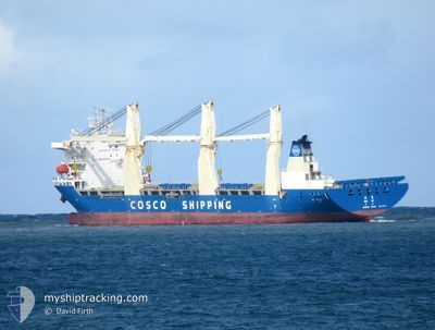
The vessel DA JI (IMO: 9768538, MMSI: 413490410) is a Cargo It's sailing under the flag of [CN] China.
In this page you can find informations about the vessels current position, last detected port calls, and current voyage information. If the vessels is not in coverage by AIS you will find the latest position.
The current position of DA JI is detected by our AIS receivers and we are not responsible for the reliability of the data. The last position was recorded while the vessel was in Coverage by the Ais receivers of our vessel tracking app.
The current draught of DA JI as reported by AIS is 8.8 meters
Weather
| Temperature | 19°C / 66.2°F |
|---|---|
| Wind Speed | 1 knots |
| Direction | 235° SW |
| Pressure | 1011.7 hPa |
| Humidity | 55.5 % |
| Cloud Coverage | 84 % |
Featured Company
Events
| Tijd | Evenement | Details | Positie / Bestemming | Info |
|---|---|---|---|---|
| 2024-04-28 06:03 | Stop beweging | 4.02 nm, North West of WALVIS BAY |
-22.87781 / 14.47169
AO LUANDA
|
Snelheid: 0.1 kn Koers: 186° |
| 2024-04-28 05:03 | Start beweging | 6.98 nm, North of WALVIS BAY |
-22.82362 / 14.51403
AO LUANDA
|
Snelheid: 3.2 kn Koers: 240° |
| 2024-04-26 20:38 | Stop beweging | 7.15 nm, North of WALVIS BAY |
-22.82115 / 14.51738
AO LUANDA
|
Snelheid: 0.3 kn Koers: 193° |
| 2024-04-26 18:19 | Start beweging | 17.71 nm, North West of WALVIS BAY |
-22.72890 / 14.27588
AO LUANDA
|
Snelheid: 3.3 kn Koers: 123° |
| 2024-04-26 18:07 | Stop beweging | 17.94 nm, North West of WALVIS BAY |
-22.72692 / 14.27217
AO LUANDA
|
Snelheid: 0.2 kn Koers: 185° |
| 2024-04-19 19:31 | Start beweging | 12.39 nm, South of KRIBI |
2.73796 / 9.85273
AO LUANDA
|
Snelheid: 4.5 kn Koers: 305° |