
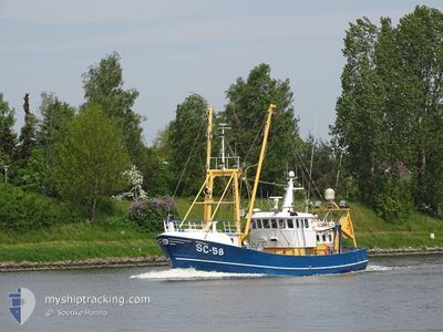
HEIMDALL
Fishing Vessel
Current Trip
SURVEY
| Time Travelled | 8 days |
|---|---|
| Remaining Time | --- |
| Distance Travelled | 371.17 nm |
| Remaining Distance | --- |
| AVG Speed | 7.3 Knots |
| MAX Speed | 13.8 Knots |
| AVG Wind | 11 knots |
| MAX Wind | 20.8 knots |
| MIN Temp | 3°C / 37.4°F |
| MAX Temp | 10.1°C / 50.18°F |
| Draught | 3 m |
| Position Received | 2 d ago |
Current Position
| Longitude | 6.30821° |
|---|---|
| Latitude | 55.12980° |
| Status | Under way using engine |
| Speed | 3.1 Knots |
| Course | 111° |
| Area | North Sea |
| Station | T-AIS |
| Position Received | 2 d ago |
Info
Information
The current position of HEIMDALL is in North Sea with coordinates 55.12980° / 6.30821° as reported on 2024-04-28 09:06 by AIS to our vessel tracker app. The vessel's current speed is 3.1 Knots
The vessel HEIMDALL (IMO: 8432340, MMSI: 211670320) is a Fishing Vessel that was built in 1987 ( 37 years old ). It's sailing under the flag of [DE] Germany.
In this page you can find informations about the vessels current position, last detected port calls, and current voyage information. If the vessels is not in coverage by AIS you will find the latest position.
The current position of HEIMDALL is detected by our AIS receivers and we are not responsible for the reliability of the data. The last position was recorded while the vessel was in Coverage by the Ais receivers of our vessel tracking app.
The current draught of HEIMDALL as reported by AIS is 3 meters
Weather
| Temperature | 10°C / 50°F |
|---|---|
| Wind Speed | 14 knots |
| Direction | 158° SSE |
| Pressure | 1005.5 hPa |
| Humidity | 93.7 % |
| Cloud Coverage | 100 % |
Featured Company
Events
| Time | Event | Details | Position / Dest | Info |
|---|---|---|---|---|
| 2024-04-28 09:06 | OUT of Coverage |
55.12980 / 6.30821
North Sea
|
Speed: 3.1 kn Course: 97.9° |
|
| 2024-04-28 09:06 | Detected in Sea | German part of the North Sea |
55.12980 / 6.30821
North Sea
|
Speed: 3.1 kn Course: 97.9° |
| 2024-04-28 09:06 | IN Coverage |
55.12980 / 6.30821
North Sea
|
Speed: 3.1 kn Course: 97.9° |
|
| 2024-04-27 20:49 | OUT of Coverage |
55.33004 / 5.15596
North Sea
|
Speed: 7.2 kn Course: 113.1° |
|
| 2024-04-27 19:15 | Destination Changed | SURVEY BUESUM |
55.41178 / 4.84812
SURVEY
|
Speed: 7.5 kn Course: 111.3° |
| 2024-04-27 19:15 | ETA Changed | 2024/04/25 07:00 2024/04/22 22:00 |
55.41178 / 4.84812
SURVEY
|
Speed: 7.5 kn Course: 111.3° |
| 2024-04-27 18:24 | Change Sea Area | Danish part of the North Sea German part of the North Sea |
55.45784 / 4.68235
North Sea
|
Speed: 7.5 kn Course: 119.7° |
| 2024-04-27 18:12 | IN Coverage |
55.46926 / 4.64251
North Sea
|
Speed: 7.4 kn Course: 113.7° |
|
| 2024-04-22 17:12 | OUT of Coverage |
53.91107 / 8.68744
North Sea
BUESUM
|
Speed: 13.3 kn Course: 332.8° |
|
| 2024-04-22 16:36 | Detected in Sea | German part of the North Sea |
53.84188 / 8.85964
North Sea
BUESUM
|
Speed: 13.8 kn Course: 265.1° |