
VAST OCEAN
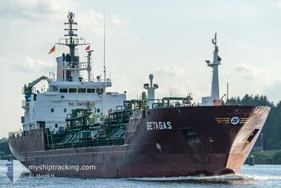
Lpg Tanker
Current Trip
| Time Travelled | 9 days |
|---|---|
| Remaining Time | 5 days |
| Distance Travelled | 396.05 nm |
| Remaining Distance | 1557.10 nm |
| AVG Speed | 8.4 Knots |
| MAX Speed | 11.4 Knots |
| AVG Wind | 13.5 knots |
| MAX Wind | 26.5 knots |
| MIN Temp | 0.8°C / 33.44°F |
| MAX Temp | 8.7°C / 47.66°F |
| Draught | 4.9 m |
| Position Received | 2024-11-09 15:56 |
Current Position
| Longitude | --- |
|---|---|
| Latitude | --- |
| Status | Moored |
| Speed | 7.1 Knots |
| Course | 191.8° |
| Area | South China Sea |
| Station | T-AIS |
| Position Received | 2024-11-09 15:56 |
Info
Information
The current position of VAST OCEAN is in South China Sea with coordinates 20.65075° / 106.87128° as reported on 2024-11-09 15:56 by AIS to our vessel tracker app. The vessel's current speed is 7.1 Knots and is heading at the port of ZHANJIANG. The estimated time of arrival as calculated by MyShipTracking vessel tracking app is 2024-12-18 20:53 LT
The vessel VAST OCEAN (IMO: 9130468, MMSI: 636021807) is a Lpg Tanker that was built in 1997 ( 27 years old ). It's sailing under the flag of [LR] Liberia.
In this page you can find informations about the vessels current position, last detected port calls, and current voyage information. If the vessels is not in coverage by AIS you will find the latest position.
The current position of VAST OCEAN is detected by our AIS receivers and we are not responsible for the reliability of the data. The last position was recorded while the vessel was in Coverage by the Ais receivers of our vessel tracking app.
The current draught of VAST OCEAN as reported by AIS is 4.9 meters
Weather
| Temperature | 1.1°C / 33.98°F |
|---|---|
| Wind Speed | 17 knots |
| Direction | 354° N |
| Pressure | 1027.1 hPa |
| Humidity | 52.8 % |
| Cloud Coverage | 98 % |
Featured Company
Last Trips
| Origin | Departure | Destination | Arrival | Distance | |
|---|---|---|---|---|---|
| 2024-11-22 19:44 | 2024-12-03 15:16 | 1059.54 nm | |||
| 2024-11-14 14:04 | 2024-11-21 08:59 | 1363.09 nm | |||
| 2024-10-28 20:09 | 2024-11-13 15:36 | 2231.68 nm | |||
| 2024-10-11 16:17 | 2024-10-28 02:10 | 2020.30 nm | |||
| 2024-08-18 14:49 | 2024-10-10 15:17 | 1043.81 nm |
Events
| Time | Event | Details | Position / Dest | Info |
|---|---|---|---|---|
| 2024-12-12 15:07 | STOP Moving | 4.98 nm, North West of CHANGXINDAO |
39.58073 / 121.28363
ZHANJIANG CHINA
|
Speed: Course: 220° |
| 2024-12-12 12:16 | START Moving | 9.69 nm, South West of CHANGXINDAO |
39.37128 / 121.21463
ZHANJIANG CHINA
|
Speed: 4.4 kn Course: 294° |
| 2024-12-05 23:45 | STOP Moving | 9.81 nm, South West of CHANGXINDAO |
39.36667 / 121.21904
ZHANJIANG CHINA
|
Speed: Course: 320° |
| 2024-12-04 04:44 | PORT DEPARTURE |
|
37.48767 / 126.59126
ZHANJIANG CHINA
|
Speed: 9.8 kn Course: 266° |
| 2024-12-04 04:36 | START Moving |
37.49346 / 126.61524
[KR] INCHEON
|
Speed: 6.5 kn Course: 245° |