
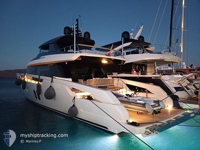
SHAYA
Pleasure Craft
Current Trip
| Trip Time | 2 h, 9 mins |
|---|---|
| Trip Distance | 22.27 nm |
| AVG Speed | 10.6 Knots |
| MAX Speed | 10.9 Knots |
| Draught | --- |
| AVG Wind | 3.8 knots |
| MAX Wind | 5.4 knots |
| MIN Temp | 21.2°C / 70.16°F |
| MAX Temp | 23.7°C / 74.66°F |
| Position Received | 3 m ago |
Current Position
| Longitude | --- |
|---|---|
| Latitude | --- |
| Status | Default |
| Speed | |
| Course | --- |
| Area | Mediterranean Sea - Eastern Basin |
| Station | T-AIS |
| Position Received | 3 m ago |
Info
Information
The current position of SHAYA is in Mediterranean Sea - Eastern Basin with coordinates 36.81765° / 28.30641° as reported on 2025-03-04 12:40 by AIS to our vessel tracker app. The vessel's current speed is 0 Knots and is currently inside the port of MARMARIS.
The vessel SHAYA (MMSI: 232049821) is a Pleasure Craft It's sailing under the flag of [GB] United Kingdom.
In this page you can find informations about the vessels current position, last detected port calls, and current voyage information. If the vessels is not in coverage by AIS you will find the latest position.
The current position of SHAYA is detected by our AIS receivers and we are not responsible for the reliability of the data. The last position was recorded while the vessel was in Coverage by the Ais receivers of our vessel tracking app.
Weather
| Temperature | 14.9°C / 58.82°F |
|---|---|
| Wind Speed | 4 knots |
| Direction | 228° SW |
| Pressure | 1014.1 hPa |
| Humidity | 53 % |
| Cloud Coverage | 33 % |
Featured Company
Last Port Calls
Last Trips
| Origin | Departure | Destination | Arrival | Distance |
|---|
Events
| Time | Event | Details | Position / Dest | Info |
|---|---|---|---|---|
| 2025-03-03 09:07 | IN Coverage |
36.81764 / 28.30639
Mediterranean Sea - Eastern Basin
[TR] MARMARIS
|
Speed: Course: 511° |