
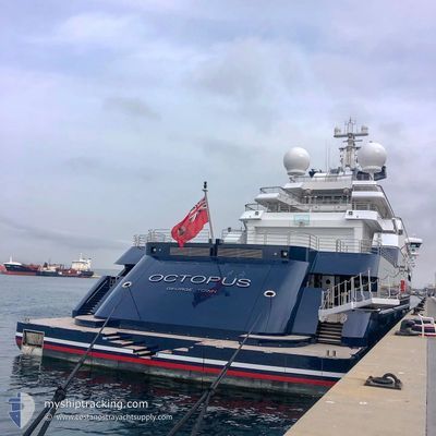
OCTOPUS
Yacht
Current Trip
TAVEWA IS FIJI
| Time Travelled | 46 days |
|---|---|
| Remaining Time | --- |
| Distance Travelled | 178.01 nm |
| Remaining Distance | --- |
| AVG Speed | 7.6 Knots |
| MAX Speed | 10.2 Knots |
| AVG Wind | 5 knots |
| MAX Wind | 18 knots |
| MIN Temp | 19.7°C / 67.46°F |
| MAX Temp | 32.2°C / 89.96°F |
| Draught | 5.7 m |
| Position Received | 2 d ago |
Current Position
| Longitude | --- |
|---|---|
| Latitude | --- |
| Status | Under way using engine |
| Speed | 6.5 Knots |
| Course | 50° |
| Area | South Pacific Ocean |
| Station | T-AIS |
| Position Received | 2 d ago |
Info
Information
The current position of OCTOPUS is in South Pacific Ocean with coordinates -17.00449° / 177.22467° as reported on 2026-01-01 16:38 by AIS to our vessel tracker app. The vessel's current speed is 6.5 Knots
The vessel OCTOPUS (IMO: 1007213, MMSI: 319866000) is a Yacht that was built in 2003 ( 23 years old ). It's sailing under the flag of [KY] Cayman Is.
In this page you can find informations about the vessels current position, last detected port calls, and current voyage information. If the vessels is not in coverage by AIS you will find the latest position.
The current position of OCTOPUS is detected by our AIS receivers and we are not responsible for the reliability of the data. The last position was recorded while the vessel was in Coverage by the Ais receivers of our vessel tracking app.
The current draught of OCTOPUS as reported by AIS is 5.7 meters
Weather
| Temperature | 27.1°C / 80.78°F |
|---|---|
| Wind Speed | 14 knots |
| Direction | 198° SSW |
| Pressure | 1005.4 hPa |
| Humidity | 78.6 % |
| Cloud Coverage | 54 % |
Featured Company
Events
| Time | Event | Details | Position / Dest | Info |
|---|---|---|---|---|
| 2026-01-01 16:38 | OUT of Coverage |
-17.00449 / 177.22467
South Pacific Ocean
|
Speed: 6.5 kn Course: 50° |
|
| 2026-01-01 16:23 | IN Coverage |
-17.02252 / 177.20279
South Pacific Ocean
|
Speed: 6.6 kn Course: 49° |
|
| 2026-01-01 13:02 | OUT of Coverage |
-17.35826 / 177.26591
South Pacific Ocean
|
Speed: 7.4 kn Course: 323° |
|
| 2026-01-01 10:29 | Draught Changed | 5.7 5.6 |
-17.63846 / 177.32515
TAVEWA IS FIJI
|
Speed: 7.4 kn Course: 321° |
| 2026-01-01 10:29 | Destination Changed | TAVEWA IS FIJI TAVARUA FIJI |
-17.63846 / 177.32515
TAVEWA IS FIJI
|
Speed: 7.4 kn Course: 321° |
| 2026-01-01 10:22 | Status Changed | Under way using engine At anchor |
-17.64937 / 177.33428
TAVARUA FIJI
|
Speed: 7.6 kn Course: 321.5° |
| 2026-01-01 08:21 | START Moving | 4.06 nm, South of MAOLO LAILAI |
-17.83698 / 177.20988
TAVARUA FIJI
|
Speed: 3.1 kn Course: 76° |
| 2025-12-30 06:08 | IN Coverage |
-17.83956 / 177.20914
South Pacific Ocean
|
Speed: 0.5 kn Course: 295° |
|
| 2025-12-30 04:47 | OUT of Coverage |
-17.83934 / 177.20881
South Pacific Ocean
|
Speed: Course: 290° |
|
| 2025-12-29 04:43 | IN Coverage |
-17.83951 / 177.20926
South Pacific Ocean
|
Speed: 0.2 kn Course: 317° |