
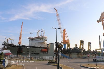
LEIV EIRIKSSON
Trailing Suction Hopper Dredger
Current Trip
UAE NMDC
| Time Travelled | --- |
|---|---|
| Remaining Time | --- |
| Distance Travelled | 4957.57 nm |
| Remaining Distance | --- |
| AVG Speed | 11.4 Knots |
| MAX Speed | 18.5 Knots |
| AVG Wind | 8.6 knots |
| MAX Wind | 30 knots |
| MIN Temp | 18.5°C / 65.3°F |
| MAX Temp | 27.4°C / 81.32°F |
| Draught | 8 m |
| Position Received | 1 m ago |
Current Position
| Longitude | 54.49423° |
|---|---|
| Latitude | 24.70020° |
| Status | Restricted manoeuverability |
| Speed | |
| Course | 151° |
| Area | Persian Gulf |
| Station | T-AIS |
| Position Received | 1 m ago |
Info
Information
The current position of LEIV EIRIKSSON is in Persian Gulf with coordinates 24.70020° / 54.49423° as reported on 2024-05-13 01:07 by AIS to our vessel tracker app. The vessel's current speed is 0 Knots
The vessel LEIV EIRIKSSON (IMO: 9429584, MMSI: 253403000) is a Trailing Suction Hopper Dredger that was built in 2010 ( 14 years old ). It's sailing under the flag of [LU] Luxembourg.
In this page you can find informations about the vessels current position, last detected port calls, and current voyage information. If the vessels is not in coverage by AIS you will find the latest position.
The current position of LEIV EIRIKSSON is detected by our AIS receivers and we are not responsible for the reliability of the data. The last position was recorded while the vessel was in Coverage by the Ais receivers of our vessel tracking app.
The current draught of LEIV EIRIKSSON as reported by AIS is 8 meters
Weather
| Temperature | 28.9°C / 84.02°F |
|---|---|
| Wind Speed | 10 knots |
| Direction | 69° ENE |
| Pressure | 1006.4 hPa |
| Humidity | 69.2 % |
| Cloud Coverage | --- |
Featured Company
Last Port Calls
Last Trips
| Origin | Departure | Destination | Arrival | Distance |
|---|
Events
| Time | Event | Details | Position / Dest | Info |
|---|---|---|---|---|
| 2024-05-13 00:32 | STOP Moving | 11.46 nm, South West of KHALIFA |
24.70027 / 54.49409
UAE NMDC
|
Speed: 0.3 kn Course: 158° |
| 2024-05-12 20:10 | START Moving | 10.99 nm, South West of KHALIFA |
24.70103 / 54.50406
UAE NMDC
|
Speed: 5.1 kn Course: 290.3° |
| 2024-05-12 15:09 | STOP Moving | 10.96 nm, South West of KHALIFA |
24.69986 / 54.50563
UAE NMDC
|
Speed: 0.3 kn Course: 163° |
| 2024-05-12 10:09 | START Moving | 11.36 nm, South West of KHALIFA |
24.70367 / 54.49386
UAE NMDC
|
Speed: 3.2 kn Course: 326° |
| 2024-05-12 04:53 | STOP Moving | 11.43 nm, South West of KHALIFA |
24.70115 / 54.49417
UAE NMDC
|
Speed: 0.3 kn Course: 157° |
| 2024-05-12 03:28 | START Moving | 10.2 nm, North West of KHALIFA |
24.90132 / 54.51139
UAE NMDC
|
Speed: 3.2 kn Course: 189° |
| 2024-05-12 00:38 | STOP Moving | 9.3 nm, North West of KHALIFA |
24.88646 / 54.52071
UAE NMDC
|
Speed: 0.3 kn Course: 6° |
| 2024-05-11 23:45 | START Moving | 10.97 nm, South West of KHALIFA |
24.70100 / 54.50447
UAE NMDC
|
Speed: 7.5 kn Course: 292.2° |
| 2024-05-11 18:50 | STOP Moving | 10.96 nm, South West of KHALIFA |
24.69954 / 54.50580
UAE NMDC
|
Speed: 0.2 kn Course: 154° |
| 2024-05-11 13:46 | START Moving | 11.35 nm, South West of KHALIFA |
24.70313 / 54.49433
UAE NMDC
|
Speed: 3.2 kn Course: 324° |