
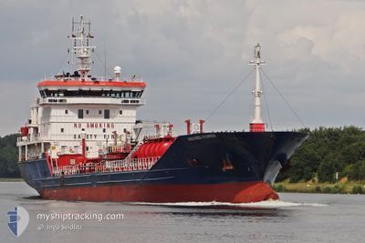
IPEK S
Oil/Chemical Tanker
Current Trip
| Trip Time | 13 days |
|---|---|
| Trip Distance | 1691.86 nm |
| AVG Speed | 9.8 Knots |
| MAX Speed | 11.8 Knots |
| Draught | 7.2 m |
| AVG Wind | 6.6 knots |
| MAX Wind | 16.2 knots |
| MIN Temp | 12.1°C / 53.78°F |
| MAX Temp | 21.6°C / 70.88°F |
| Position Received | 1 m ago |
Current Position
| Longitude | 29.85823° |
|---|---|
| Latitude | 40.74838° |
| Status | Under way using engine |
| Speed | 2.2 Knots |
| Course | 48° |
| Area | Sea of Marmara |
| Station | T-AIS |
| Position Received | 1 m ago |
Info
Information
The current position of IPEK S is in Sea of Marmara with coordinates 40.74838° / 29.85823° as reported on 2024-05-10 04:19 by AIS to our vessel tracker app. The vessel's current speed is 2.2 Knots and is currently inside the port of DERINCE.
The vessel IPEK S (IMO: 9499541, MMSI: 538090654) is a Oil/Chemical Tanker that was built in 2009 ( 15 years old ). It's sailing under the flag of [MH] Marshall Is.
In this page you can find informations about the vessels current position, last detected port calls, and current voyage information. If the vessels is not in coverage by AIS you will find the latest position.
The current position of IPEK S is detected by our AIS receivers and we are not responsible for the reliability of the data. The last position was recorded while the vessel was in Coverage by the Ais receivers of our vessel tracking app.
The current draught of IPEK S as reported by AIS is 7.2 meters
Weather
| Temperature | 13°C / 55.4°F |
|---|---|
| Wind Speed | 7 knots |
| Direction | 73° ENE |
| Pressure | 1014.9 hPa |
| Humidity | 89.8 % |
| Cloud Coverage | 99 % |
Featured Company
Last Port Calls
Last Trips
Events
| Time | Event | Details | Position / Dest | Info |
|---|---|---|---|---|
| 2024-05-10 04:11 | PORT ARRIVAL |
|
40.74560 / 29.85162
[TR] DERINCE
|
Speed: 3.1 kn Course: 66° |
| 2024-05-10 03:18 | START Moving | 0.97 nm, West of EVYAP |
40.76700 / 29.69172
TO ORDER
|
Speed: 5.8 kn Course: 139.4° |
| 2024-05-10 03:13 | Status Changed | Under way using engine At anchor |
40.76887 / 29.68819
TO ORDER
|
Speed: 0.1 kn Course: 80° |
| 2024-05-09 17:42 | Status Changed | At anchor Under way using engine |
40.76816 / 29.68892
TO ORDER
|
Speed: 0.4 kn Course: 23° |
| 2024-05-09 17:42 | STOP Moving | 1.07 nm, West of EVYAP |
40.76816 / 29.68892
TO ORDER
|
Speed: 0.2 kn Course: 20° |
| 2024-05-09 12:46 | IN Coverage |
40.73380 / 28.67763
Sea of Marmara
TO ORDER
|
Speed: 10.2 kn Course: 89.5° |
|
| 2024-05-09 09:13 | OUT of Coverage |
40.73745 / 27.90112
Sea of Marmara
TO ORDER
|
Speed: 10.7 kn Course: 82.1° |
|
| 2024-05-09 06:14 | IN Coverage |
40.58899 / 27.25403
Sea of Marmara
TO ORDER
|
Speed: 10.2 kn Course: 65.8° |
|
| 2024-05-09 01:33 | OUT of Coverage |
40.21155 / 26.44124
Sea of Marmara
TO ORDER
|
Speed: 9.3 kn Course: 70.6° |
|
| 2024-05-08 23:38 | Change Sea Area | Turkish part of the Sea of Marmara Turkish part of the Aegean Sea |
40.02123 / 26.24159
Sea of Marmara
TO ORDER
|
Speed: 9.3 kn Course: 85.6° |