
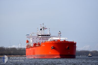
HAYAT
Tanker
Current Trip
| Time Travelled | 19 h, 30 mins |
|---|---|
| Remaining Time | --- |
| Distance Travelled | 150.90 nm |
| Remaining Distance | --- |
| AVG Speed | 10.7 Knots |
| MAX Speed | 12.6 Knots |
| AVG Wind | 12.2 knots |
| MAX Wind | 18 knots |
| MIN Temp | 26.7°C / 80.06°F |
| MAX Temp | 27.5°C / 81.5°F |
| Draught | 7.5 m |
| Position Received | 11 h, 52 m ago |
Current Position
| Longitude | 38.36351° |
|---|---|
| Latitude | 22.52336° |
| Status | Under way using engine |
| Speed | 11.6 Knots |
| Course | 349.9° |
| Area | Red Sea |
| Station | T-AIS |
| Position Received | 11 h, 52 m ago |
Info
Information
The current position of HAYAT is in Red Sea with coordinates 22.52336° / 38.36351° as reported on 2024-05-08 19:53 by AIS to our vessel tracker app. The vessel's current speed is 11.6 Knots
The vessel HAYAT (IMO: 9917854, MMSI: 403643000) is a Tanker It's sailing under the flag of [SA] Saudi Arabia.
In this page you can find informations about the vessels current position, last detected port calls, and current voyage information. If the vessels is not in coverage by AIS you will find the latest position.
The current position of HAYAT is detected by our AIS receivers and we are not responsible for the reliability of the data. The last position was recorded while the vessel was in Coverage by the Ais receivers of our vessel tracking app.
The current draught of HAYAT as reported by AIS is 7.5 meters
Weather
| Temperature | 27.3°C / 81.14°F |
|---|---|
| Wind Speed | 9 knots |
| Direction | 299° WNW |
| Pressure | 1009.3 hPa |
| Humidity | 66.7 % |
| Cloud Coverage | 6 % |
Featured Company
Last Trips
Events
| Time | Event | Details | Position / Dest | Info |
|---|---|---|---|---|
| 2024-05-09 06:55 | STOP Moving |
23.42333 / 38.24500
SAYBI
|
Speed: Course: -1° |
|
| 2024-05-09 05:35 | START Moving |
23.37942 / 38.28944
SAYBI
|
Speed: 3.2 kn Course: 286° |
|
| 2024-05-09 01:19 | STOP Moving |
23.40500 / 38.29833
SAYBI
|
Speed: Course: -1° |
|
| 2024-05-08 19:57 | Status Changed | Default Under way using engine |
22.53774 / 38.36076
SAYBI
|
Speed: 11.6 kn Course: 349.9° |
| 2024-05-08 19:53 | Status Changed | Under way using engine Default |
22.52336 / 38.36351
SAYBI
|
Speed: 11.6 kn Course: 350° |
| 2024-05-08 19:53 | OUT of Coverage |
22.52336 / 38.36351
Red Sea
SAYBI
|
Speed: 11.6 kn Course: 349.9° |
|
| 2024-05-08 19:46 | Status Changed | Default Under way using engine |
22.50116 / 38.36777
SAYBI
|
Speed: 11.6 kn Course: 349.4° |
| 2024-05-08 19:43 | Status Changed | Under way using engine Default |
22.49161 / 38.36959
SAYBI
|
Speed: 11.6 kn Course: 350° |
| 2024-05-08 19:34 | Status Changed | Default Under way using engine |
22.46539 / 38.37419
SAYBI
|
Speed: 11.7 kn Course: 352.2° |
| 2024-05-08 18:00 | Status Changed | Under way using engine Default |
22.15046 / 38.42302
SAYBI
|
Speed: 12 kn Course: 352° |