
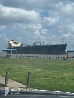
GLOBE IRIS
Tanker
Current Trip
| Time Travelled | 31 days |
|---|---|
| Remaining Time | --- |
| Distance Travelled | 9554.36 nm |
| Remaining Distance | --- |
| AVG Speed | 13.6 Knots |
| MAX Speed | 17.7 Knots |
| AVG Wind | 13.5 knots |
| MAX Wind | 31 knots |
| MIN Temp | 4.9°C / 40.82°F |
| MAX Temp | 29.4°C / 84.92°F |
| Draught | 8.3 m |
| Position Received | 3 d ago |
Current Position
| Longitude | --- |
|---|---|
| Latitude | --- |
| Status | Under way using engine |
| Speed | 14.1 Knots |
| Course | 6.1° |
| Area | Caribbean Sea |
| Station | T-AIS |
| Position Received | 3 d ago |
Info
Information
The current position of GLOBE IRIS is in Caribbean Sea with coordinates 9.82107° / -79.98712° as reported on 2025-03-01 17:51 by AIS to our vessel tracker app. The vessel's current speed is 14.1 Knots and is heading at the port of BALBOA.
The vessel GLOBE IRIS (IMO: 9902160, MMSI: 373263000) is a Tanker It's sailing under the flag of [PA] Panama.
In this page you can find informations about the vessels current position, last detected port calls, and current voyage information. If the vessels is not in coverage by AIS you will find the latest position.
The current position of GLOBE IRIS is detected by our AIS receivers and we are not responsible for the reliability of the data. The last position was recorded while the vessel was in Coverage by the Ais receivers of our vessel tracking app.
The current draught of GLOBE IRIS as reported by AIS is 8.3 meters
Weather
| Temperature | 24.7°C / 76.46°F |
|---|---|
| Wind Speed | 7 knots |
| Direction | 269° W |
| Pressure | 1010.4 hPa |
| Humidity | 83.6 % |
| Cloud Coverage | 6 % |
Featured Company
Events
| Time | Event | Details | Position / Dest | Info |
|---|---|---|---|---|
| 2025-03-01 18:09 | Status Changed | Default Under way using engine |
9.89810 / -79.97776
PA BLB
|
Speed: 14.1 kn Course: 6.1° |
| 2025-03-01 17:51 | OUT of Coverage |
9.82107 / -79.98712
Caribbean Sea
|
Speed: 14.1 kn Course: 6.1° |
|
| 2025-03-01 17:46 | Status Changed | Under way using engine Default |
9.80783 / -79.98875
PA BLB
|
Speed: 13.4 kn Course: 7° |
| 2025-03-01 17:38 | Status Changed | Default Under way using engine |
9.77639 / -79.99239
PA BLB
|
Speed: 13.7 kn Course: 7.8° |
| 2025-03-01 17:30 | Status Changed | Under way using engine Default |
9.74858 / -79.99560
PA BLB
|
Speed: 14.2 kn Course: 5° |
| 2025-03-01 17:28 | Status Changed | Default Under way using engine |
9.73743 / -79.99688
PA BLB
|
Speed: 14 kn Course: 7.5° |
| 2025-03-01 15:37 | Detected in Sea | Panamanian part of the Caribbean Sea |
9.36850 / -79.91911
Caribbean Sea
|
Speed: 5.1 kn Course: 1.2° |
| 2025-03-01 14:49 | START Moving | 3.95 nm, South of CRISTOBAL |
9.28120 / -79.92149
PA BLB
|
Speed: 3.5 kn Course: 4° |
| 2025-03-01 13:33 | Status Changed | Under way using engine Default |
9.27014 / -79.92310
PA BLB
|
Speed: 1.3 kn Course: 7° |
| 2025-03-01 13:23 | Status Changed | Default Under way using engine |
9.26603 / -79.92369
PA BLB
|
Speed: 1.4 kn Course: 7° |