
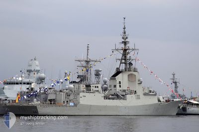
ESPS NAVY SHIP
Military ops
Current Trip
| Trip Time | 30 days |
|---|---|
| Trip Distance | 2175.79 nm |
| AVG Speed | 11.9 Knots |
| MAX Speed | 11.9 Knots |
| Draught | 6.8 m |
| AVG Wind | 12.7 knots |
| MAX Wind | 23.8 knots |
| MIN Temp | 7.2°C / 44.96°F |
| MAX Temp | 20.9°C / 69.62°F |
| Position Received | 8 h, 14 m ago |
Current Position
| Longitude | -6.32853° |
|---|---|
| Latitude | 36.62201° |
| Status | Moored |
| Speed | |
| Course | --- |
| Area | North Atlantic Ocean |
| Station | T-AIS |
| Position Received | 8 h, 14 m ago |
Info
Information
The current position of ESPS NAVY SHIP is in North Atlantic Ocean with coordinates 36.62201° / -6.32853° as reported on 2024-05-28 05:54 by AIS to our vessel tracker app. The vessel's current speed is 0 Knots and is currently inside the port of ROTA.
The vessel ESPS NAVY SHIP (MMSI: 224457000) is a Military ops It's sailing under the flag of [ES] Spain.
In this page you can find informations about the vessels current position, last detected port calls, and current voyage information. If the vessels is not in coverage by AIS you will find the latest position.
The current position of ESPS NAVY SHIP is detected by our AIS receivers and we are not responsible for the reliability of the data. The last position was recorded while the vessel was in Coverage by the Ais receivers of our vessel tracking app.
The current draught of ESPS NAVY SHIP as reported by AIS is 6.8 meters
Weather
| Temperature | 16.7°C / 62.06°F |
|---|---|
| Wind Speed | 9 knots |
| Direction | 130° SE |
| Pressure | 1015.6 hPa |
| Humidity | 63.7 % |
| Cloud Coverage | 38 % |
Featured Company
Most Visited Ports (Last year)
| Port | Arrivals | |
|---|---|---|
| 3 | ||
| 1 | ||
| 1 | ||
| 1 |
Events
| Time | Event | Details | Position / Dest | Info |
|---|---|---|---|---|
| 2024-05-28 05:54 | OUT of Coverage |
36.62201 / -6.32853
North Atlantic Ocean
[ES] ROTA
|
Speed: Course: 137° |
|
| 2024-05-26 08:00 | Status Changed | Moored Under way using engine |
36.62181 / -6.32825
[ES] ROTA
|
Speed: 0.5 kn Course: 511° |
| 2024-05-26 08:00 | IN Coverage |
36.62188 / -6.32836
North Atlantic Ocean
[ES] ROTA
|
Speed: 0.3 kn Course: 294.4° |
|
| 2024-05-26 07:13 | PORT ARRIVAL |
|
36.62177 / -6.32816
[ES] ROTA
|
Speed: 11.8 kn Course: 92.3° |
| 2024-05-26 01:58 | OUT of Coverage |
36.66667 / -7.61123
North Atlantic Ocean
|
Speed: 11.8 kn Course: 92.3° |
|
| 2024-05-25 20:45 | IN Coverage |
36.97273 / -8.74092
North Atlantic Ocean
|
Speed: 14.9 kn Course: 57.7° |
|
| 2024-05-25 19:31 | OUT of Coverage |
36.83859 / -9.08033
North Atlantic Ocean
|
Speed: 16.1 kn Course: 140.9° |
|
| 2024-05-25 03:47 | IN Coverage |
40.85610 / -9.68142
North Atlantic Ocean
|
Speed: 15.7 kn Course: 182.9° |
|
| 2024-05-25 01:05 | OUT of Coverage |
41.56932 / -9.61617
North Atlantic Ocean
|
Speed: 15.6 kn Course: 183.2° |
|
| 2024-05-25 01:05 | Detected in Sea | Portuguese part of the North Atlantic Ocean |
41.56932 / -9.61617
North Atlantic Ocean
|
Speed: 15.6 kn Course: 183.2° |