
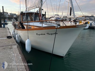
EGIDIA INGELS
Pleasure Craft
Current Trip
Unknown
| Time Travelled | 13 days |
|---|---|
| Remaining Time | --- |
| Distance Travelled | 103.49 nm |
| Remaining Distance | --- |
| AVG Speed | 7.3 Knots |
| MAX Speed | 9.3 Knots |
| AVG Wind | 10.5 knots |
| MAX Wind | 16.8 knots |
| MIN Temp | 17.3°C / 63.14°F |
| MAX Temp | 24.7°C / 76.46°F |
| Draught | --- |
| Position Received | 5 h, 29 m ago |
Current Position
| Longitude | -4.95127° |
|---|---|
| Latitude | 36.48516° |
| Status | Default |
| Speed | |
| Course | 287° |
| Area | Alboran Sea |
| Station | T-AIS |
| Position Received | 5 h, 29 m ago |
Info
Information
The current position of EGIDIA INGELS is in Alboran Sea with coordinates 36.48516° / -4.95127° as reported on 2024-06-09 06:22 by AIS to our vessel tracker app. The vessel's current speed is 0 Knots
The vessel EGIDIA INGELS (MMSI: 235022704) is a Pleasure Craft It's sailing under the flag of [GB] United Kingdom.
In this page you can find informations about the vessels current position, last detected port calls, and current voyage information. If the vessels is not in coverage by AIS you will find the latest position.
The current position of EGIDIA INGELS is detected by our AIS receivers and we are not responsible for the reliability of the data. The last position was recorded while the vessel was in Coverage by the Ais receivers of our vessel tracking app.
Weather
| Temperature | 16.2°C / 61.16°F |
|---|---|
| Wind Speed | 5 knots |
| Direction | 294° WNW |
| Pressure | 1012.6 hPa |
| Humidity | 65.7 % |
| Cloud Coverage | 1 % |
Featured Company
Events
| Time | Event | Details | Position / Dest | Info |
|---|---|---|---|---|
| 2024-06-09 06:22 | OUT of Coverage |
36.48516 / -4.95127
Alboran Sea
|
Speed: Course: 327.9° |
|
| 2024-06-09 00:28 | IN Coverage |
36.48517 / -4.95127
Alboran Sea
|
Speed: Course: 322.7° |
|
| 2024-06-08 23:01 | OUT of Coverage |
36.48517 / -4.95127
Alboran Sea
|
Speed: Course: 25.2° |
|
| 2024-06-08 23:01 | IN Coverage |
36.48517 / -4.95127
Alboran Sea
|
Speed: Course: 25.2° |
|
| 2024-06-08 07:13 | OUT of Coverage |
36.48516 / -4.95128
Alboran Sea
|
Speed: Course: 44.9° |
|
| 2024-06-08 05:25 | IN Coverage |
36.48518 / -4.95127
Alboran Sea
|
Speed: Course: 358.8° |
|
| 2024-06-08 03:46 | OUT of Coverage |
36.48518 / -4.95126
Alboran Sea
|
Speed: Course: 358.8° |
|
| 2024-06-08 03:46 | IN Coverage |
36.48518 / -4.95126
Alboran Sea
|
Speed: Course: 358.8° |
|
| 2024-06-08 02:37 | OUT of Coverage |
36.48517 / -4.95128
Alboran Sea
|
Speed: Course: 358.8° |
|
| 2024-06-07 23:40 | IN Coverage |
36.48517 / -4.95127
Alboran Sea
|
Speed: Course: 89.8° |