
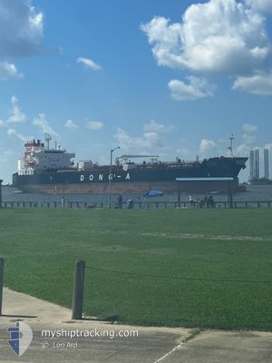
DAT VENUS
Tanker
Current Trip
| Time Travelled | 7 days |
|---|---|
| Remaining Time | --- |
| Distance Travelled | 1065.25 nm |
| Remaining Distance | --- |
| AVG Speed | 11.3 Knots |
| MAX Speed | 17.5 Knots |
| AVG Wind | 11.8 knots |
| MAX Wind | 25.8 knots |
| MIN Temp | 5.8°C / 42.44°F |
| MAX Temp | 17.7°C / 63.86°F |
| Draught | 11.5 m |
| Position Received | 8 d ago |
Current Position
| Longitude | --- |
|---|---|
| Latitude | --- |
| Status | At anchor |
| Speed | 0.1 Knots |
| Course | 292° |
| Area | South Pacific Ocean |
| Station | T-AIS |
| Position Received | 8 d ago |
Info
Information
The current position of DAT VENUS is in South Pacific Ocean with coordinates -32.77175° / -71.50754° as reported on 2025-12-05 09:50 by AIS to our vessel tracker app. The vessel's current speed is 0.1 Knots
The vessel DAT VENUS (IMO: 9948293, MMSI: 538010420) is a Tanker It's sailing under the flag of [MH] Marshall Is.
In this page you can find informations about the vessels current position, last detected port calls, and current voyage information. If the vessels is not in coverage by AIS you will find the latest position.
The current position of DAT VENUS is detected by our AIS receivers and we are not responsible for the reliability of the data. The last position was recorded while the vessel was in Coverage by the Ais receivers of our vessel tracking app.
The current draught of DAT VENUS as reported by AIS is 11.5 meters
Weather
| Temperature | 9.5°C / 49.1°F |
|---|---|
| Wind Speed | 22 knots |
| Direction | 256° WSW |
| Pressure | 1007.8 hPa |
| Humidity | 71.2 % |
| Cloud Coverage | 100 % |
Featured Company
Most Visited Ports (Last year)
| Port | Arrivals | |
|---|---|---|
| 7 | ||
| 2 | ||
| 2 | ||
| 2 | ||
| 2 | ||
| 2 |
Events
| Time | Event | Details | Position / Dest | Info |
|---|---|---|---|---|
| 2025-12-11 11:30 | START Moving | 5.23 nm, North of CORONEL |
-36.94742 / -73.17584
CLQTV
|
Speed: 4.6 kn Course: 244° |
| 2025-12-10 00:08 | STOP Moving | 5.35 nm, North of CORONEL |
-36.94500 / -73.16833
CLQTV
|
Speed: Course: -1° |
| 2025-12-09 22:47 | START Moving | 1.3 nm, South West of CORONEL |
-37.04923 / -73.18183
CLQTV
|
Speed: 8.5 kn Course: 300° |
| 2025-12-08 06:00 | STOP Moving | 1.31 nm, South of CORONEL |
-37.05507 / -73.17002
CLQTV
|
Speed: 0.1 kn Course: 113° |
| 2025-12-07 04:39 | PORT DEPARTURE |
|
-32.74857 / -71.52593
CLQTV
|
Speed: 7 kn Course: -1° |
| 2025-12-07 04:29 | START Moving |
-32.76500 / -71.51334
[CL] QUINTERO
|
Speed: 4 kn Course: -1° |
|
| 2025-12-05 09:59 | Status Changed | Default At anchor |
-32.77174 / -71.50754
[CL] QUINTERO
|
Speed: 0.1 kn Course: 292° |
| 2025-12-05 09:50 | OUT of Coverage |
-32.77175 / -71.50754
South Pacific Ocean
[CL] QUINTERO
|
Speed: 0.1 kn Course: 197.1° |
|
| 2025-12-05 09:29 | Status Changed | At anchor Default |
-32.77179 / -71.50755
[CL] QUINTERO
|
Speed: Course: 299° |
| 2025-12-05 09:26 | Status Changed | Default At anchor |
-32.77183 / -71.50763
[CL] QUINTERO
|
Speed: 0.1 kn Course: 296° |