
CHRISYA
Other Type
Current Trip
160000
Unknown Port
ETA*
2025-03-04 00:00 UTC
| Time Travelled | 43 days |
|---|---|
| Remaining Time | --- |
| Distance Travelled | 203.71 nm |
| Remaining Distance | --- |
| AVG Speed | 7.6 Knots |
| MAX Speed | 11.7 Knots |
| AVG Wind | 5.5 knots |
| MAX Wind | 14.8 knots |
| MIN Temp | -1.7°C / 28.94°F |
| MAX Temp | 10.9°C / 51.62°F |
| Draught | 0 m |
| Position Received | 3 m ago |
Current Position
| Longitude | --- |
|---|---|
| Latitude | --- |
| Status | Moored |
| Speed | |
| Course | --- |
| Area | English Channel |
| Station | T-AIS |
| Position Received | 3 m ago |
Info
info
Information
The current position of CHRISYA is in English Channel with coordinates 49.47553° / 0.46461° as reported on 2025-03-04 23:45 by AIS to our vessel tracker app. The vessel's current speed is 0 Knots
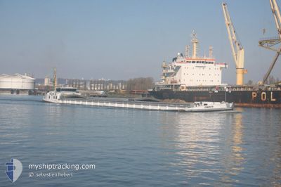
The vessel CHRISYA (MMSI: 227098150) is a Other Type It's sailing under the flag of [FR] France.
In this page you can find informations about the vessels current position, last detected port calls, and current voyage information. If the vessels is not in coverage by AIS you will find the latest position.
The current position of CHRISYA is detected by our AIS receivers and we are not responsible for the reliability of the data. The last position was recorded while the vessel was in Coverage by the Ais receivers of our vessel tracking app.
Weather
| Temperature | 4.3°C / 39.74°F |
|---|---|
| Wind Speed | 1 knots |
| Direction | 137° SE |
| Pressure | 1024.8 hPa |
| Humidity | 82.1 % |
| Cloud Coverage | 3 % |
Featured Company
Limited time offer - Install a base station receiver to your area and list your company on MyShipTracking Free forever!
Most Visited Ports (Last year)
| Port | Arrivals | |
|---|---|---|
| 24 | ||
| 12 | ||
| 5 | ||
| 4 | ||
| 3 | ||
| 1 |
Events
| Time | Event | Details | Position / Dest | Info |
|---|---|---|---|---|
| 2025-03-04 19:00 | ETA Changed | 2025/03/04 00:00 |
49.47554 / .46460
160000
|
Speed: Course: 511° |
| 2025-03-04 19:00 | Status Changed | Moored Under way using engine |
49.47554 / .46460
160000
|
Speed: Course: 511° |
| 2025-03-04 12:41 | STOP Moving | 1.02 nm, South West of RADICATEL |
49.47553 / .46459
160000
|
Speed: 0.3 kn Course: 511° |
| 2025-03-04 05:37 | Status Changed | Under way using engine Default |
49.33856 / 1.10069
160000
|
Speed: 9.1 kn Course: 82° |
| 2025-03-04 05:18 | Status Changed | Default Under way using engine |
49.32305 / 1.03299
160000
|
Speed: 8.7 kn Course: 2.2° |
| 2025-03-04 04:09 | IN Coverage |
49.30794 / 1.19176
English Channel
|
Speed: 9.5 kn Course: 261.5° |
|
| 2025-02-26 18:03 | OUT of Coverage |
48.86307 / 2.29846
English Channel
|
Speed: 9.5 kn Course: 259° |
|
| 2025-02-26 17:59 | IN Coverage |
48.86338 / 2.30253
English Channel
|
Speed: 9.8 kn Course: 264.2° |
|
| 2025-02-26 12:21 | OUT of Coverage |
48.55667 / 2.53614
English Channel
|
Speed: 7.3 kn Course: 38.4° |
|
| 2025-02-26 11:51 | START Moving | 16.26 nm, South of BONNEUIL |
48.52376 / 2.58453
160000
|
Speed: 3.3 kn Course: 324.3° |