
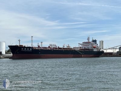
CHANG HANG XIAN FENG
Oil Products Tanker
Current Trip
| Time Travelled | 10 days |
|---|---|
| Remaining Time | --- |
| Distance Travelled | 2967.28 nm |
| Remaining Distance | --- |
| AVG Speed | 11.2 Knots |
| MAX Speed | 13.8 Knots |
| AVG Wind | 10.4 knots |
| MAX Wind | 27 knots |
| MIN Temp | 23.4°C / 74.12°F |
| MAX Temp | 29.6°C / 85.28°F |
| Draught | 7.1 m |
| Position Received | 9 d ago |
Current Position
| Longitude | --- |
|---|---|
| Latitude | --- |
| Status | Under way using engine |
| Speed | 12 Knots |
| Course | 320.3° |
| Area | Coral Sea |
| Station | T-AIS |
| Position Received | 9 d ago |
Info
Information
The current position of CHANG HANG XIAN FENG is in Coral Sea with coordinates -18.71119° / 146.96304° as reported on 2025-12-25 11:48 by AIS to our vessel tracker app. The vessel's current speed is 12 Knots and is heading at the port of MUARA. The estimated time of arrival as calculated by MyShipTracking vessel tracking app is 2026-01-05 15:00 LT
The vessel CHANG HANG XIAN FENG (IMO: 9379791, MMSI: 413689000) is a Oil Products Tanker that was built in 2009 ( 17 years old ). It's sailing under the flag of [CN] China.
In this page you can find informations about the vessels current position, last detected port calls, and current voyage information. If the vessels is not in coverage by AIS you will find the latest position.
The current position of CHANG HANG XIAN FENG is detected by our AIS receivers and we are not responsible for the reliability of the data. The last position was recorded while the vessel was in Coverage by the Ais receivers of our vessel tracking app.
The current draught of CHANG HANG XIAN FENG as reported by AIS is 7.1 meters
Weather
| Temperature | 23.7°C / 74.66°F |
|---|---|
| Wind Speed | 19 knots |
| Direction | 60° ENE |
| Pressure | 1017.3 hPa |
| Humidity | 59.2 % |
| Cloud Coverage | 100 % |
Featured Company
Most Visited Ports (Last year)
| Port | Arrivals | |
|---|---|---|
| 2 | ||
| 2 | ||
| 2 | ||
| 2 | ||
| 2 | ||
| 2 |
Events
| Time | Event | Details | Position / Dest | Info |
|---|---|---|---|---|
| 2025-12-27 06:27 | START Moving |
-11.94083 / 151.52991
BN MUA
|
Speed: 3.2 kn Course: 291° |
|
| 2025-12-27 04:24 | STOP Moving |
-11.94833 / 151.53667
BN MUA
|
Speed: Course: -1° |
|
| 2025-12-25 11:57 | Status Changed | Default Under way using engine |
-18.68484 / 146.95294
BN MUA
|
Speed: 12 kn Course: 320.3° |
| 2025-12-25 11:48 | OUT of Coverage |
-18.71119 / 146.96304
Coral Sea
BN MUA
|
Speed: 12 kn Course: 320.3° |
|
| 2025-12-25 11:37 | IN Coverage |
-18.73625 / 146.99337
Coral Sea
BN MUA
|
Speed: 12 kn Course: 308.9° |
|
| 2025-12-25 11:35 | Status Changed | Under way using engine Default |
-18.74124 / 146.99984
BN MUA
|
Speed: 12 kn Course: 309° |