
CATALYST
Pleasure Craft
Current Trip
Unknown
| Time Travelled | 1 day |
|---|---|
| Remaining Time | --- |
| Distance Travelled | 19.64 nm |
| Remaining Distance | --- |
| AVG Speed | 7.7 Knots |
| MAX Speed | 8.7 Knots |
| AVG Wind | 6.6 knots |
| MAX Wind | 8 knots |
| MIN Temp | 19.6°C / 67.28°F |
| MAX Temp | 22.3°C / 72.14°F |
| Draught | --- |
| Position Received | 1 d ago |
Current Position
| Longitude | --- |
|---|---|
| Latitude | --- |
| Status | Default |
| Speed | 7.1 Knots |
| Course | 351° |
| Area | Gulf of California |
| Station | T-AIS |
| Position Received | 1 d ago |
Info
Information
The current position of CATALYST is in Gulf of California with coordinates 24.49216° / -110.39441° as reported on 2026-02-21 00:58 by AIS to our vessel tracker app. The vessel's current speed is 7.1 Knots
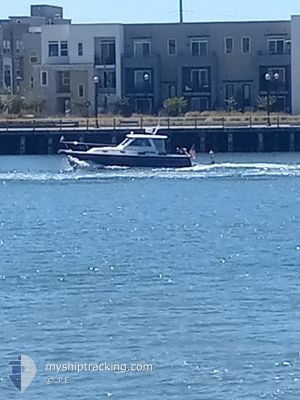
The vessel CATALYST (MMSI: 368330530) is a Pleasure Craft It's sailing under the flag of [US] USA.
In this page you can find informations about the vessels current position, last detected port calls, and current voyage information. If the vessels is not in coverage by AIS you will find the latest position.
The current position of CATALYST is detected by our AIS receivers and we are not responsible for the reliability of the data. The last position was recorded while the vessel was in Coverage by the Ais receivers of our vessel tracking app.
Weather
| Temperature | 20.4°C / 68.72°F |
|---|---|
| Wind Speed | 8 knots |
| Direction | --- N |
| Pressure | 1011.7 hPa |
| Humidity | 58.1 % |
| Cloud Coverage | 61 % |
Featured Company
Most Visited Ports (Last year)
| Port | Arrivals | |
|---|---|---|
| 6 | ||
| 4 | ||
| 4 | ||
| 2 | ||
| 1 |
Events
| Time | Event | Details | Position / Dest | Info |
|---|---|---|---|---|
| 2026-02-21 00:58 | OUT of Coverage |
24.49216 / -110.39441
Gulf of California
|
Speed: 7.1 kn Course: 351° |
|
| 2026-02-20 22:12 | PORT DEPARTURE |
|
24.16456 / -110.32042
|
Speed: 7.9 kn Course: 39.8° |
| 2026-02-20 22:08 | START Moving |
24.15869 / -110.32599
[MX] LA PAZ
|
Speed: 7.1 kn Course: 35.9° |
|
| 2026-02-20 14:47 | IN Coverage |
24.15639 / -110.32650
Gulf of California
[MX] LA PAZ
|
Speed: Course: 511° |
|
| 2026-02-20 04:53 | OUT of Coverage |
24.15640 / -110.32649
Gulf of California
[MX] LA PAZ
|
Speed: Course: 511° |
|
| 2026-02-19 14:20 | IN Coverage |
24.15637 / -110.32648
Gulf of California
[MX] LA PAZ
|
Speed: Course: 511° |
|
| 2026-02-19 06:20 | OUT of Coverage |
24.15639 / -110.32649
Gulf of California
[MX] LA PAZ
|
Speed: Course: 511° |
|
| 2026-02-19 03:38 | IN Coverage |
24.15638 / -110.32647
Gulf of California
[MX] LA PAZ
|
Speed: Course: 511° |
|
| 2026-02-19 01:50 | OUT of Coverage |
24.15637 / -110.32649
Gulf of California
[MX] LA PAZ
|
Speed: Course: 511° |
|
| 2026-02-18 14:23 | IN Coverage |
24.15638 / -110.32649
Gulf of California
[MX] LA PAZ
|
Speed: Course: 511° |