
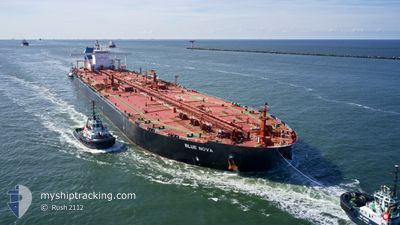
BLUE NOVA
Tanker
Current Trip
| Time Travelled | 6 days |
|---|---|
| Remaining Time | 1 day |
| Distance Travelled | 1455.61 nm |
| Remaining Distance | 961.48 nm |
| AVG Speed | 12.3 Knots |
| MAX Speed | 15.8 Knots |
| AVG Wind | 10.9 knots |
| MAX Wind | 20 knots |
| MIN Temp | 18.8°C / 65.84°F |
| MAX Temp | 25.1°C / 77.18°F |
| Draught | 11 m |
| Position Received | 12 d ago |
Current Position
| Longitude | --- |
|---|---|
| Latitude | --- |
| Status | Under way using engine |
| Speed | 13 Knots |
| Course | 286° |
| Area | North Atlantic Ocean |
| Station | T-AIS |
| Position Received | 12 d ago |
Info
Information
The current position of BLUE NOVA is in North Atlantic Ocean with coordinates 26.01117° / -77.88099° as reported on 2025-12-26 13:14 by AIS to our vessel tracker app. The vessel's current speed is 13 Knots and is heading at the port of CORPUS CHRISTI. The estimated time of arrival as calculated by MyShipTracking vessel tracking app is 2026-01-08 20:02 LT
The vessel BLUE NOVA (IMO: 9534846, MMSI: 636018114) is a Tanker It's sailing under the flag of [LR] Liberia.
In this page you can find informations about the vessels current position, last detected port calls, and current voyage information. If the vessels is not in coverage by AIS you will find the latest position.
The current position of BLUE NOVA is detected by our AIS receivers and we are not responsible for the reliability of the data. The last position was recorded while the vessel was in Coverage by the Ais receivers of our vessel tracking app.
The current draught of BLUE NOVA as reported by AIS is 11 meters
Weather
| Temperature | 22.7°C / 72.86°F |
|---|---|
| Wind Speed | 14 knots |
| Direction | 234° SW |
| Pressure | 1017.4 hPa |
| Humidity | 80.2 % |
| Cloud Coverage | 13 % |
Featured Company
Events
| Time | Event | Details | Position / Dest | Info |
|---|---|---|---|---|
| 2026-01-03 01:36 | START Moving |
27.81378 / -96.20792
USCRP
|
Speed: 5.5 kn Course: 121° |
|
| 2026-01-02 23:50 | STOP Moving |
27.81237 / -96.21819
USCRP
|
Speed: 0.1 kn Course: 256° |
|
| 2026-01-01 18:30 | PORT DEPARTURE |
|
27.82155 / -97.17966
USCRP
|
Speed: 5.5 kn Course: 78° |
| 2026-01-01 18:18 | START Moving |
27.81767 / -97.20133
[US] INGLESIDE
|
Speed: 4.1 kn Course: 80° |
|
| 2025-12-30 21:27 | STOP Moving |
27.82007 / -97.20770
[US] INGLESIDE
|
Speed: Course: 201° |
|
| 2025-12-30 21:18 | PORT ARRIVAL |
|
27.81997 / -97.20754
[US] INGLESIDE
|
Speed: 1.2 kn Course: 210° |
| 2025-12-30 18:51 | START Moving | 11.28 nm, East of PORT ARANSAS |
27.80127 / -96.85995
USCRP
|
Speed: 3.6 kn Course: 301° |
| 2025-12-30 12:24 | STOP Moving | 11.6 nm, East of PORT ARANSAS |
27.79479 / -96.85559
USCRP
|
Speed: 0.2 kn Course: 25° |