
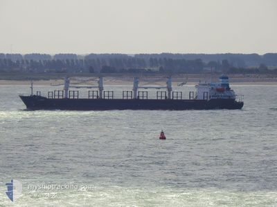
AMERAY
Bulk Carrier
Current Trip
| Time Travelled | 8 days |
|---|---|
| Remaining Time | --- |
| Distance Travelled | 1313.95 nm |
| Remaining Distance | --- |
| AVG Speed | 11.9 Knots |
| MAX Speed | 13.4 Knots |
| AVG Wind | 6.9 knots |
| MAX Wind | 16 knots |
| MIN Temp | 27°C / 80.6°F |
| MAX Temp | 36.4°C / 97.52°F |
| Draught | 5.8 m |
| Position Received | 4 d ago |
Current Position
| Longitude | 34.64935° |
|---|---|
| Latitude | 27.62852° |
| Status | Under way using engine |
| Speed | 12.2 Knots |
| Course | 332.2° |
| Area | Red Sea |
| Station | T-AIS |
| Position Received | 4 d ago |
Info
Information
The current position of AMERAY is in Red Sea with coordinates 27.62852° / 34.64935° as reported on 2024-06-05 19:23 by AIS to our vessel tracker app. The vessel's current speed is 12.2 Knots
The vessel AMERAY (IMO: 9224855, MMSI: 312494000) is a Bulk Carrier that was built in 2002 ( 22 years old ). It's sailing under the flag of [BZ] Belize.
In this page you can find informations about the vessels current position, last detected port calls, and current voyage information. If the vessels is not in coverage by AIS you will find the latest position.
The current position of AMERAY is detected by our AIS receivers and we are not responsible for the reliability of the data. The last position was recorded while the vessel was in Coverage by the Ais receivers of our vessel tracking app.
The current draught of AMERAY as reported by AIS is 5.8 meters
Weather
| Temperature | 29.9°C / 85.82°F |
|---|---|
| Wind Speed | 5 knots |
| Direction | 40° NE |
| Pressure | 1005 hPa |
| Humidity | 40.5 % |
| Cloud Coverage | --- |
Featured Company
Last Trips
| Origin | Departure | Destination | Arrival | Distance | |
|---|---|---|---|---|---|
| 2024-05-10 09:28 | 2024-05-25 12:19 | 2370.71 nm | |||
| 2024-05-10 09:28 | 2024-05-15 11:16 | 846.78 nm | |||
| 2024-04-11 17:17 | 2024-05-10 08:14 | 970.74 nm | |||
| 2024-04-08 15:15 | 2024-04-09 21:45 | 213.87 nm | |||
| 2024-03-20 23:50 | 2024-04-08 13:37 | 1407.90 nm |
Events
| Time | Event | Details | Position / Dest | Info |
|---|---|---|---|---|
| 2024-06-08 08:44 | STOP Moving | 19.54 nm, South West of AQABA INDUSTRIAL |
29.09667 / 34.76833
JOAQJ
|
Speed: Course: -1° |
| 2024-06-07 16:14 | STOP Moving | 13 nm, South West of AQABA INDUSTRIAL |
29.18500 / 34.84333
JOAQJ
|
Speed: Course: -1° |
| 2024-06-07 15:32 | START Moving | 12.84 nm, South West of AQABA INDUSTRIAL |
29.19054 / 34.83800
JOAQJ
|
Speed: 8 kn Course: 136° |
| 2024-06-05 19:23 | OUT of Coverage |
27.62852 / 34.64935
Red Sea
JOAQJ
|
Speed: 12.2 kn Course: 332.2° |
|
| 2024-06-05 19:11 | IN Coverage |
27.59325 / 34.66995
Red Sea
JOAQJ
|
Speed: 12.2 kn Course: 331.2° |
|
| 2024-06-05 18:06 | OUT of Coverage |
27.39615 / 34.79452
Red Sea
JOAQJ
|
Speed: 12.5 kn Course: 328.2° |
|
| 2024-06-05 18:02 | Change Sea Area | Saudi Arabian part of the Red Sea Disputed Sudan-Egypt part of the Red Sea |
27.38593 / 34.80178
Red Sea
JOAQJ
|
Speed: 12.3 kn Course: 328.2° |
| 2024-06-05 17:59 | IN Coverage |
27.38593 / 34.80178
Red Sea
JOAQJ
|
Speed: 12.3 kn Course: 328.2° |
|
| 2024-06-04 14:30 | Status Changed | Default Under way using engine |
22.50762 / 37.71583
JOAQJ
|
Speed: 12.3 kn Course: 330.2° |
| 2024-06-04 14:29 | OUT of Coverage |
22.50460 / 37.71768
Red Sea
JOAQJ
|
Speed: 12.3 kn Course: 330.2° |