
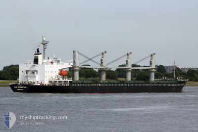
POCHARD S
General Cargo
Current Trip
| Time Travelled | 5 days |
|---|---|
| Remaining Time | 4 h, 15 mins |
| Distance Travelled | 1287.44 nm |
| Remaining Distance | 70.86 nm |
| AVG Speed | 9.8 Knots |
| MAX Speed | 12.5 Knots |
| AVG Wind | 19.7 knots |
| MAX Wind | 36.7 knots |
| MIN Temp | -1.2°C / 29.84°F |
| MAX Temp | 20.6°C / 69.08°F |
| Draught | 6.5 m |
| Position Received | 1 d ago |
Current Position
| Longitude | --- |
|---|---|
| Latitude | --- |
| Status | Under way using engine |
| Speed | 10.5 Knots |
| Course | 86.7° |
| Area | Black Sea |
| Station | T-AIS |
| Position Received | 1 d ago |
Info
Information
The current position of POCHARD S is in Black Sea with coordinates 41.26776° / 29.44501° as reported on 2026-01-12 16:13 by AIS to our vessel tracker app. The vessel's current speed is 10.5 Knots and is heading at the port of NOVOROSSIYSK. The estimated time of arrival as calculated by MyShipTracking vessel tracking app is 2026-01-14 11:58 LT
The vessel POCHARD S (IMO: 9363314, MMSI: 636017555) is a General Cargo that was built in 2007 ( 19 years old ). It's sailing under the flag of [LR] Liberia.
In this page you can find informations about the vessels current position, last detected port calls, and current voyage information. If the vessels is not in coverage by AIS you will find the latest position.
The current position of POCHARD S is detected by our AIS receivers and we are not responsible for the reliability of the data. The last position was recorded while the vessel was in Coverage by the Ais receivers of our vessel tracking app.
The current draught of POCHARD S as reported by AIS is 6.5 meters
Weather
| Temperature | 2.5°C / 36.5°F |
|---|---|
| Wind Speed | 5 knots |
| Direction | 25° NNE |
| Pressure | 1024.9 hPa |
| Humidity | 55.8 % |
| Cloud Coverage | 11 % |
Featured Company
Last Trips
| Origin | Departure | Destination | Arrival | Distance | |
|---|---|---|---|---|---|
| 2025-11-26 21:35 | 2026-01-06 08:55 | 2410.84 nm | |||
| 2025-10-25 17:32 | 2025-11-24 21:01 | 2205.83 nm |
Events
| Time | Event | Details | Position / Dest | Info |
|---|---|---|---|---|
| 2026-01-12 16:24 | Status Changed | Default Under way using engine |
41.26823 / 29.48908
RUNVS
|
Speed: 10.5 kn Course: 86.7° |
| 2026-01-12 16:13 | OUT of Coverage |
41.26776 / 29.44501
Black Sea
RUNVS
|
Speed: 10.5 kn Course: 86.7° |
|
| 2026-01-12 16:11 | Status Changed | Under way using engine Default |
41.26779 / 29.43650
RUNVS
|
Speed: 10 kn Course: 87° |
| 2026-01-12 16:08 | Status Changed | Default Under way using engine |
41.26667 / 29.42333
RUNVS
|
Speed: 10.7 kn Course: 90.2° |
| 2026-01-12 14:52 | Change Sea Area | Turkish part of the Black Sea Turkish part of the Sea of Marmara |
41.22957 / 29.15047
Black Sea
RUNVS
|
Speed: 9.7 kn Course: 53.9° |
| 2026-01-12 06:49 | Status Changed | Under way using engine Default |
40.78410 / 28.21574
RUNVS
|
Speed: 10.3 kn Course: 81° |
| 2026-01-12 06:49 | IN Coverage |
40.78410 / 28.21574
Sea of Marmara
RUNVS
|
Speed: 10.3 kn Course: 82.5° |
|
| 2026-01-12 05:41 | Status Changed | Default Under way using engine |
40.74711 / 27.96533
RUNVS
|
Speed: 9.7 kn Course: 72.6° |
| 2026-01-12 05:33 | OUT of Coverage |
40.74147 / 27.93817
Sea of Marmara
RUNVS
|
Speed: 9.7 kn Course: 72.6° |
|
| 2026-01-12 05:20 | Status Changed | Under way using engine Default |
40.73337 / 27.89263
RUNVS
|
Speed: 10.3 kn Course: 81° |