
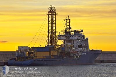
GEOQUIP SEEHORN
Anchor Handling Vessel
Current Trip
Current Position
| Longitud | --- |
|---|---|
| Latitude | --- |
| Status | Moored |
| Fart | |
| Kurs | 153° |
| Område | North Sea |
| Station | T-AIS |
| Position mottagen | 4 m sen |
Info
Information
The current position of GEOQUIP SEEHORN is in North Sea with coordinates 52.47407° / 4.66404° as reported on 2026-01-06 04:53 by AIS to our vessel tracker app. The vessel's current speed is 0 Knop and is currently inside the port of BEVERWIJK.
The vessel GEOQUIP SEEHORN (IMO: 8406470, MMSI: 210204000) is a Anchor Handling Vessel that was built in 1985 ( 41 År gammal ). It's sailing under the flag of [CY] Cyprus.
In this page you can find informations about the vessels current position, last detected port calls, and current voyage information. If the vessels is not in coverage by AIS you will find the latest position.
The current position of GEOQUIP SEEHORN is detected by our AIS receivers and we are not responsible for the reliability of the data. The last position was recorded while the vessel was in Coverage by the Ais receivers of our vessel tracking app.
The current draught of GEOQUIP SEEHORN as reported by AIS is 5 meters
Weather
| Temperature | -1.1°C / 30.02°F |
|---|---|
| Wind Speed | 4 knots |
| Direction | 331° NNW |
| Pressure | 1013.9 hPa |
| Humidity | 75.1 % |
| Cloud Coverage | 6 % |
Featured Company
Last Trips
| Origin | Departure | Destination | Arrival | Distance | |
|---|---|---|---|---|---|
| 2025-12-24 06:55 | 2025-12-30 09:25 | 365.95 nm | |||
| 2025-12-22 14:25 | 2025-12-24 06:12 | 350.44 nm | |||
| 2025-12-15 18:32 | 2025-12-19 10:33 | 224.53 nm | |||
| 2025-11-21 00:15 | 2025-12-14 06:57 | 316.33 nm | |||
| 2025-10-26 21:25 | 2025-11-19 08:42 | 319.55 nm |
Events
| Tid | Event | Detaljer | Position / Dest | Information |
|---|---|---|---|---|
| 2026-01-01 00:05 | ETA ändrat | 2026/12/30 11:00 2025/12/30 11:00 |
52.47413 / 4.66399
[NL] BEVERWIJK
|
Fart: Kurs: 153° |
| 2025-12-30 12:53 | ETA ändrat | 2025/12/30 11:00 2025/12/30 08:00 |
52.47411 / 4.66401
[NL] BEVERWIJK
|
Fart: Kurs: 153° |
| 2025-12-30 12:47 | Status ändrad | Moored Under way using engine |
52.47417 / 4.66407
[NL] BEVERWIJK
|
Fart: Kurs: 153° |
| 2025-12-30 08:25 | ANLÄNDER HAMN |
|
52.46243 / 4.66280
[NL] BEVERWIJK
|
Fart: 1.5 kn Kurs: 214° |
| 2025-12-30 08:21 | STOPPAR förflyttning | 0.36 nm, South West of BEVERWIJK |
52.46191 / 4.66218
BEVERWIJK
|
Fart: 0.1 kn Kurs: 109° |
| 2025-12-30 07:57 | STARTAR förflyttning | 0.57 nm, East of IJMUIDEN |
52.46574 / 4.60308
BEVERWIJK
|
Fart: 3.3 kn Kurs: 101° |
| 2025-12-30 07:40 | STOPPAR förflyttning | 0.42 nm, East of IJMUIDEN |
52.46587 / 4.59897
BEVERWIJK
|
Fart: 0.3 kn Kurs: 91° |
| 2025-12-30 02:06 | STARTAR förflyttning | 1.22 nm, South of TEXEL |
52.99021 / 4.80783
BEVERWIJK
|
Fart: 3.1 kn Kurs: 262° |
| 2025-12-30 02:02 | Status ändrad | Under way using engine At anchor |
52.99033 / 4.81115
BEVERWIJK
|
Fart: 0.5 kn Kurs: 265° |
| 2025-12-30 00:58 | ETA ändrat | 2025/12/30 08:00 2025/12/25 18:30 |
52.99142 / 4.81328
BEVERWIJK
|
Fart: Kurs: 254° |