
GALA
General Cargo
Current Trip
| Time Travelled | 19 days |
|---|---|
| Remaining Time | --- |
| Distance Travelled | 3132.09 nm |
| Remaining Distance | --- |
| AVG Speed | 11.1 Knop |
| MAX Speed | 15 Knop |
| AVG Wind | 9.4 knots |
| MAX Wind | 23.9 knots |
| MIN Temp | 17.5°C / 63.5°F |
| MAX Temp | 30.7°C / 87.26°F |
| Djupgående | 8 m |
| Position mottagen | 23 h, 57 m sen |
Current Position
| Longitud | 103.47863° |
|---|---|
| Latitude | 1.22619° |
| Status | Under way using engine |
| Fart | 13.2 Knop |
| Kurs | 284.1° |
| Område | Singapore Strait |
| Station | T-AIS |
| Position mottagen | 23 h, 57 m sen |
Info
Information
The current position of GALA is in Singapore Strait with coordinates 1.22619° / 103.47863° as reported on 2024-06-08 14:50 by AIS to our vessel tracker app. The vessel's current speed is 13.2 Knop and is heading at the port of MONTOIR. The estimated time of arrival as calculated by MyShipTracking vessel tracking app is 2024-07-12 14:00 LT
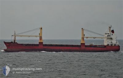
The vessel GALA (IMO: 9304461, MMSI: 636019065) is a General Cargo that was built in 2005 ( 19 År gammal ). It's sailing under the flag of [LR] Liberia.
In this page you can find informations about the vessels current position, last detected port calls, and current voyage information. If the vessels is not in coverage by AIS you will find the latest position.
The current position of GALA is detected by our AIS receivers and we are not responsible for the reliability of the data. The last position was recorded while the vessel was in Coverage by the Ais receivers of our vessel tracking app.
The current draught of GALA as reported by AIS is 8 meters
Weather
| Temperature | 29.4°C / 84.92°F |
|---|---|
| Wind Speed | 10 knots |
| Direction | 2° N |
| Pressure | 1010.8 hPa |
| Humidity | 76.6 % |
| Cloud Coverage | 59 % |
Featured Company
Events
| Tid | Event | Detaljer | Position / Dest | Information |
|---|---|---|---|---|
| 2024-06-08 14:57 | Status ändrad | Default Under way using engine |
1.23300 / 103.45232
FRMTX
|
Fart: 13.2 kn Kurs: 284.1° |
| 2024-06-08 14:50 | UTANFÖR täckningsområde |
1.22619 / 103.47863
Singapore Strait
|
Fart: 13.2 kn Kurs: 284.1° |
|
| 2024-06-08 14:20 | Byter havsområde | Malaysian part of the Singapore Strait Indonesian part of the Singapore Strait |
1.19795 / 103.58958
Singapore Strait
|
Fart: 14.4 kn Kurs: 286.6° |
| 2024-06-08 14:01 | Byter havsområde | Indonesian part of the Singapore Strait Singaporean part of the Singapore Strait |
1.18188 / 103.66201
Singapore Strait
|
Fart: 13.7 kn Kurs: 286.8° |
| 2024-06-08 12:15 | STARTAR förflyttning | 1.38 nm, East of SINGAPORE |
1.26340 / 103.87678
FRMTX
|
Fart: 3.2 kn Kurs: 126° |
| 2024-06-08 12:10 | Status ändrad | Under way using engine At anchor |
1.26394 / 103.87525
FRMTX
|
Fart: 0.1 kn Kurs: 39° |
| 2024-06-08 08:42 | Destination ändrad | FRMTX SGSIN |
1.26353 / 103.87424
FRMTX
|
Fart: Kurs: 58° |
| 2024-06-08 04:57 | ETA ändrat | 2024/07/12 14:00 2024/06/05 14:00 |
1.26335 / 103.87461
SGSIN
|
Fart: Kurs: 11° |
| 2024-06-07 08:50 | Status ändrad | At anchor Default |
1.26341 / 103.87445
SGSIN
|
Fart: Kurs: 65° |
| 2024-06-07 08:44 | Status ändrad | Default At anchor |
1.26343 / 103.87446
SGSIN
|
Fart: Kurs: 65° |