
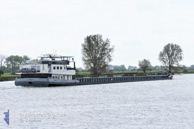
TUNA
Cargo
Current Trip
| Time Travelled | 5 days |
|---|---|
| Remaining Time | --- |
| Distance Travelled | 327.74 морская миля |
| Remaining Distance | --- |
| AVG Speed | 6.9 Узлы |
| MAX Speed | 8 Узлы |
| AVG Wind | 9.7 knots |
| MAX Wind | 14.8 knots |
| MIN Temp | 11.3°C / 52.34°F |
| MAX Temp | 23.9°C / 75.02°F |
| Осадка | 3.2 м |
| Позиция Получена | 5 d тому назад |
Current Position
| Долгота | 20.53413° |
|---|---|
| Широта | 44.83297° |
| Статус | Under way using engine |
| Скорость | 6 Узлы |
| Курс | 68° |
| Район | Black Sea |
| Станция | T-AIS |
| Позиция Получена | 5 d тому назад |
Info
Information
The current position of TUNA is in Black Sea with coordinates 44.83297° / 20.53413° as reported on 2024-04-28 11:27 by AIS to our vessel tracker app. The vessel's current speed is 6 Узлы and is heading at the port of CONSTANTA. The estimated time of arrival as calculated by MyShipTracking vessel tracking app is 2024-05-04 10:00 LT
The vessel TUNA (MMSI: 244129081) is a Cargo It's sailing under the flag of [NL] Netherlands.
In this page you can find informations about the vessels current position, last detected port calls, and current voyage information. If the vessels is not in coverage by AIS you will find the latest position.
The current position of TUNA is detected by our AIS receivers and we are not responsible for the reliability of the data. The last position was recorded while the vessel was in Coverage by the Ais receivers of our vessel tracking app.
The current draught of TUNA as reported by AIS is 3.2 meters
Weather
| Temperature | 13.8°C / 56.84°F |
|---|---|
| Wind Speed | 5 knots |
| Direction | 82° E |
| Pressure | 1011.1 hPa |
| Humidity | 69.6 % |
| Cloud Coverage | 100 % |
Featured Company
Events
| Время | Событие | Детали | Позиция / Направление | Информация |
|---|---|---|---|---|
| 2024-05-02 03:50 | Начало движения | 7.36 nm, East of ORYAHOVO |
43.69667 / 24.13167
CONSTANTA
|
Скорость: 6 kn Курс: 115° |
| 2024-04-28 11:27 | Вне покрытия |
44.83297 / 20.53413
Black Sea
CONSTANTA
|
Скорость: 6 kn Курс: 68° |
|
| 2024-04-28 10:16 | Осадка изменилась | 3.2 2 |
44.87511 / 20.36526
CONSTANTA
|
Скорость: 7 kn Курс: 143° |
| 2024-04-28 10:16 | Пункт назначения изменился | CONSTANTA NOVI SAD |
44.87511 / 20.36526
CONSTANTA
|
Скорость: 7 kn Курс: 143° |
| 2024-04-28 10:16 | ETA изменился | 2024/05/04 10:00 2024/04/18 10:00 |
44.87511 / 20.36526
CONSTANTA
|
Скорость: 7 kn Курс: 143° |
| 2024-04-28 10:12 | В покрытии |
44.88029 / 20.36006
Black Sea
|
Скорость: 6.9 kn Курс: 150.1° |
|
| 2024-04-28 04:41 | ПОРТ ОТПРАВЛЕНИЯ |
|
45.17166 / 20.10833
NOVI SAD
|
Скорость: Курс: -1° |