
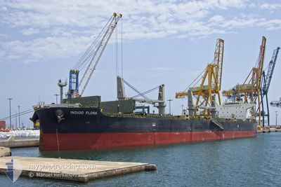
FIORA
Bulk Carrier
Current Trip
| Time Travelled | 4 days |
|---|---|
| Remaining Time | --- |
| Distance Travelled | 750.40 морская миля |
| Remaining Distance | --- |
| AVG Speed | 15 Узлы |
| MAX Speed | 15 Узлы |
| AVG Wind | 13.6 knots |
| MAX Wind | 22 knots |
| MIN Temp | 4.2°C / 39.56°F |
| MAX Temp | 16.8°C / 62.24°F |
| Осадка | 5.5 м |
| Позиция Получена | 4 d тому назад |
Current Position
| Долгота | --- |
|---|---|
| Широта | --- |
| Статус | Under way using engine |
| Скорость | 10.4 Узлы |
| Курс | 60.2° |
| Район | Black Sea |
| Станция | T-AIS |
| Позиция Получена | 4 d тому назад |
Info
Information
The current position of FIORA is in Black Sea with coordinates 41.45588° / 29.71704° as reported on 2025-12-05 14:57 by AIS to our vessel tracker app. The vessel's current speed is 10.4 Узлы
The vessel FIORA (IMO: 9584877, MMSI: 538005114) is a Bulk Carrier that was built in 2013 ( 12 лет ). It's sailing under the flag of [MH] Marshall Is.
In this page you can find informations about the vessels current position, last detected port calls, and current voyage information. If the vessels is not in coverage by AIS you will find the latest position.
The current position of FIORA is detected by our AIS receivers and we are not responsible for the reliability of the data. The last position was recorded while the vessel was in Coverage by the Ais receivers of our vessel tracking app.
The current draught of FIORA as reported by AIS is 5.5 meters
Weather
| Temperature | 9.2°C / 48.56°F |
|---|---|
| Wind Speed | 8 knots |
| Direction | 325° NW |
| Pressure | 1018.7 hPa |
| Humidity | 84.2 % |
| Cloud Coverage | 65 % |
Featured Company
Most Visited Ports (Last year)
| Port | Arrivals | |
|---|---|---|
| 2 | ||
| 2 | ||
| 2 | ||
| 1 | ||
| 1 | ||
| 1 |
Last Trips
| Origin | Departure | Destination | Arrival | Distance | |
|---|---|---|---|---|---|
| 2025-12-03 11:57 | 2025-12-05 13:43 | 389.83 морская миля | |||
| 2025-11-16 14:04 | 2025-11-20 09:22 | 916.91 морская миля | |||
| 2025-11-07 16:51 | 2025-11-10 09:28 | 692.57 морская миля | |||
| 2025-10-02 02:33 | 2025-11-03 06:51 | 6685.25 морская миля |
Events
| Время | Событие | Детали | Позиция / Направление | Информация |
|---|---|---|---|---|
| 2025-12-08 17:41 | Начало движения | 4.17 nm, North of GELENDZHIK |
44.63452 / 38.01018
RU NVS
|
Скорость: 7.7 kn Курс: 315° |
| 2025-12-05 15:04 | Статус изменился | Default Under way using engine |
41.46533 / 29.73940
RU NVS
|
Скорость: 10.4 kn Курс: 60.2° |
| 2025-12-05 14:57 | Статус изменился | Under way using engine Default |
41.45588 / 29.71704
RU NVS
|
Скорость: 10.2 kn Курс: 62° |
| 2025-12-05 14:57 | Вне покрытия |
41.45588 / 29.71704
Black Sea
RU NVS
|
Скорость: 10.4 kn Курс: 60.2° |
|
| 2025-12-05 14:50 | Статус изменился | Default Under way using engine |
41.44635 / 29.69468
RU NVS
|
Скорость: 10.5 kn Курс: 63.9° |
| 2025-12-05 14:13 | Пункт назначения изменился | RU NVS TR IST |
41.39625 / 29.56395
RU NVS
|
Скорость: 10.7 kn Курс: 63.8° |
| 2025-12-05 14:13 | ETA изменился | 2025/12/07 01:00 2025/12/04 19:00 |
41.39625 / 29.56395
RU NVS
|
Скорость: 10.7 kn Курс: 63.8° |
| 2025-12-05 12:23 | Изменение морского района | Turkish part of the Black Sea Turkish part of the Sea of Marmara |
41.23275 / 29.15052
Black Sea
|
Скорость: 12.2 kn Курс: 43.8° |
| 2025-12-05 12:10 | ПОРТ ОТПРАВЛЕНИЯ |
|
41.20448 / 29.11483
TR IST
|
Скорость: 7.8 kn Курс: 44° |
| 2025-12-05 10:43 | Порт |
|
41.00538 / 28.99441
[TR] ISTANBUL
|
Скорость: 9.8 kn Курс: 2.8° |