
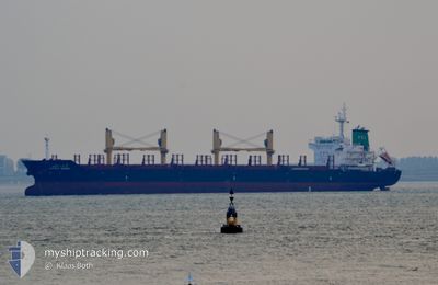
LATIKA NAREE
Bulk Carrier
Current Trip
LAST UPDATE TIME
| Time Travelled | 27 days |
|---|---|
| Remaining Time | --- |
| Distance Travelled | 6554.00 nm |
| Remaining Distance | --- |
| AVG Speed | 11 Knopen |
| MAX Speed | 17.5 Knopen |
| AVG Wind | 13.9 knots |
| MAX Wind | 38.8 knots |
| MIN Temp | -0.9°C / 30.38°F |
| MAX Temp | 33.9°C / 93.02°F |
| Diepgang | 10.2 M |
| Positie ontvangen | 4 d geleden |
Current Position
| Lengtegraad | -80.07810° |
|---|---|
| Breedtegraat | 7.12228° |
| Status | Under way using engine |
| Snelheid | 13.2 Knopen |
| Koers | 225.5° |
| Gebied | North Pacific Ocean |
| Station | T-AIS |
| Positie ontvangen | 4 d geleden |
Info
Information
The current position of LATIKA NAREE is in North Pacific Ocean with coordinates 7.12228° / -80.07810° as reported on 2024-05-11 22:20 by AIS to our vessel tracker app. The vessel's current speed is 13.2 Knopen
The vessel LATIKA NAREE (IMO: 9496941, MMSI: 567049000) is a Bulk Carrier that was built in 2012 ( 12 Jaar oud ). It's sailing under the flag of [TH] Thailand.
In this page you can find informations about the vessels current position, last detected port calls, and current voyage information. If the vessels is not in coverage by AIS you will find the latest position.
The current position of LATIKA NAREE is detected by our AIS receivers and we are not responsible for the reliability of the data. The last position was recorded while the vessel was in Coverage by the Ais receivers of our vessel tracking app.
The current draught of LATIKA NAREE as reported by AIS is 10.2 meters
Weather
| Temperature | 28.1°C / 82.58°F |
|---|---|
| Wind Speed | 1 knots |
| Direction | 52° NE |
| Pressure | 1009.9 hPa |
| Humidity | 78.6 % |
| Cloud Coverage | 23 % |
Featured Company
Events
| Tijd | Evenement | Details | Positie / Bestemming | Info |
|---|---|---|---|---|
| 2024-05-14 14:55 | Stop beweging | 0.97 nm, South of PUERTO QUETZAL |
13.90317 / -90.79259
LAST UPDATE TIME
|
Snelheid: 0.3 kn Koers: 24° |
| 2024-05-11 22:35 | Status Changed | Default Under way using engine |
7.07272 / -80.12846
LAST UPDATE TIME
|
Snelheid: 13.2 kn Koers: 225.5° |
| 2024-05-11 22:20 | Buitenbereik |
7.12228 / -80.07810
North Pacific Ocean
LAST UPDATE TIME
|
Snelheid: 13.2 kn Koers: 225.5° |
|
| 2024-05-11 22:20 | ETA Changed | 2024/05/11 22:16 2024/05/11 22:11 |
7.13561 / -80.06470
LAST UPDATE TIME
|
Snelheid: 13 kn Koers: 224.5° |
| 2024-05-11 22:14 | ETA Changed | 2024/05/11 22:11 2024/05/11 22:07 |
7.15891 / -80.04140
LAST UPDATE TIME
|
Snelheid: 13 kn Koers: 226.4° |
| 2024-05-11 22:12 | ETA Changed | 2024/05/11 22:07 2024/05/11 22:06 |
7.15891 / -80.04140
LAST UPDATE TIME
|
Snelheid: 13 kn Koers: 226.4° |
| 2024-05-11 22:10 | ETA Changed | 2024/05/11 22:06 2024/05/11 22:02 |
7.15891 / -80.04140
LAST UPDATE TIME
|
Snelheid: 13 kn Koers: 226.4° |
| 2024-05-11 22:05 | ETA Changed | 2024/05/11 22:02 2024/05/11 21:58 |
7.19904 / -80.00020
LAST UPDATE TIME
|
Snelheid: 13.3 kn Koers: 224.3° |
| 2024-05-11 22:01 | ETA Changed | 2024/05/11 21:58 2024/05/11 21:46 |
7.19904 / -80.00020
LAST UPDATE TIME
|
Snelheid: 13.3 kn Koers: 224.3° |
| 2024-05-11 21:51 | ETA Changed | 2024/05/11 21:46 2024/05/11 21:37 |
7.22340 / -79.97570
LAST UPDATE TIME
|
Snelheid: 13.2 kn Koers: 225.3° |