
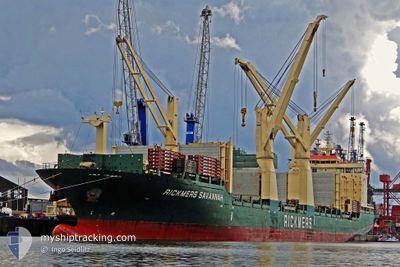
HYUNDAI ULSAN
General Cargo
Current Trip
PAPAN
| Time Travelled | 39 days |
|---|---|
| Remaining Time | --- |
| Distance Travelled | 11023.70 nm |
| Remaining Distance | --- |
| AVG Speed | 12.9 Knopen |
| MAX Speed | 17.2 Knopen |
| AVG Wind | 11.2 knots |
| MAX Wind | 22 knots |
| MIN Temp | 6.6°C / 43.88°F |
| MAX Temp | 30.8°C / 87.44°F |
| Diepgang | 9.2 M |
| Positie ontvangen | 5 d geleden |
Current Position
| Lengtegraad | -96.06815° |
|---|---|
| Breedtegraat | 25.92347° |
| Status | Under way using engine |
| Snelheid | 12.9 Knopen |
| Koers | 286.7° |
| Gebied | Gulf of Mexico |
| Station | T-AIS |
| Positie ontvangen | 5 d geleden |
Info
Information
The current position of HYUNDAI ULSAN is in Gulf of Mexico with coordinates 25.92347° / -96.06815° as reported on 2024-05-10 13:09 by AIS to our vessel tracker app. The vessel's current speed is 12.9 Knopen
The vessel HYUNDAI ULSAN (IMO: 9469895, MMSI: 538004217) is a General Cargo that was built in 2011 ( 13 Jaar oud ). It's sailing under the flag of [MH] Marshall Is.
In this page you can find informations about the vessels current position, last detected port calls, and current voyage information. If the vessels is not in coverage by AIS you will find the latest position.
The current position of HYUNDAI ULSAN is detected by our AIS receivers and we are not responsible for the reliability of the data. The last position was recorded while the vessel was in Coverage by the Ais receivers of our vessel tracking app.
The current draught of HYUNDAI ULSAN as reported by AIS is 9.2 meters
Weather
| Temperature | 26.3°C / 79.34°F |
|---|---|
| Wind Speed | 12 knots |
| Direction | 122° ESE |
| Pressure | 1009.6 hPa |
| Humidity | 86.3 % |
| Cloud Coverage | --- |
Featured Company
Most Visited Ports (Last year)
| Port | Arrivals | |
|---|---|---|
| 5 | ||
| 4 | ||
| 3 | ||
| 3 | ||
| 3 | ||
| 2 |
Events
| Tijd | Evenement | Details | Positie / Bestemming | Info |
|---|---|---|---|---|
| 2024-05-10 17:38 | Stop beweging | 21.25 nm, North East of BROWNSVILLE |
26.10145 / -97.00796
PAPAN
|
Snelheid: 0.1 kn Koers: 187° |
| 2024-05-10 13:14 | Status Changed | Default Under way using engine |
25.92803 / -96.08540
PAPAN
|
Snelheid: 12.9 kn Koers: 286.7° |
| 2024-05-10 13:09 | Buitenbereik |
25.92347 / -96.06815
Gulf of Mexico
|
Snelheid: 12.9 kn Koers: 286.7° |
|
| 2024-05-10 12:51 | Status Changed | Under way using engine Default |
25.90410 / -95.99660
PAPAN
|
Snelheid: 12.9 kn Koers: 285° |
| 2024-05-10 12:51 | Binnenbereik |
25.90410 / -95.99660
Gulf of Mexico
|
Snelheid: 12.8 kn Koers: 285.8° |
|
| 2024-05-10 08:40 | Status Changed | Default Under way using engine |
25.66500 / -95.06167
PAPAN
|
Snelheid: 12.5 kn Koers: 286.8° |
| 2024-05-10 08:35 | Buitenbereik |
25.66102 / -95.04544
Gulf of Mexico
|
Snelheid: 12.5 kn Koers: 286.8° |
|
| 2024-05-10 08:17 | Status Changed | Under way using engine Default |
25.64108 / -94.98005
PAPAN
|
Snelheid: 12.7 kn Koers: 289° |
| 2024-05-10 08:14 | Status Changed | Default Under way using engine |
25.63785 / -94.96960
PAPAN
|
Snelheid: 12.7 kn Koers: 287.5° |
| 2024-05-10 07:56 | Status Changed | Under way using engine Default |
25.61775 / -94.90331
PAPAN
|
Snelheid: 11.7 kn Koers: 288° |