
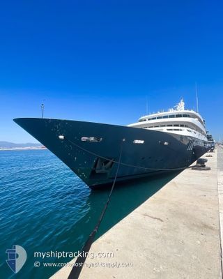
BOADICEA
Yacht
Current Trip
| Time Travelled | 1 day |
|---|---|
| Remaining Time | 20 h, 26 mins |
| Distance Travelled | 234.66 nm |
| Remaining Distance | 208.72 nm |
| AVG Speed | 8.2 Knopen |
| MAX Speed | 10.8 Knopen |
| AVG Wind | 8.3 knots |
| MAX Wind | 15.9 knots |
| MIN Temp | 7.5°C / 45.5°F |
| MAX Temp | 16.3°C / 61.34°F |
| Diepgang | 4.2 M |
| Positie ontvangen | 1 m geleden |
Current Position
| Lengtegraad | 5.25341° |
|---|---|
| Breedtegraat | 41.73137° |
| Status | Towing Astern |
| Snelheid | 9.8 Knopen |
| Koers | 225.7° |
| Gebied | Mediterranean Sea - Western Basin |
| Station | T-AIS |
| Positie ontvangen | 1 m geleden |
Info
Information
The current position of BOADICEA is in Mediterranean Sea - Western Basin with coordinates 41.73137° / 5.25341° as reported on 2024-05-05 12:45 by AIS to our vessel tracker app. The vessel's current speed is 9.8 Knopen and is heading at the port of PALMA DE MALLORCA. The estimated time of arrival as calculated by MyShipTracking vessel tracking app is 2024-05-06 09:13 LT
The vessel BOADICEA (IMO: 1006128, MMSI: 319086200) is a Yacht that was built in 1999 ( 25 Jaar oud ). It's sailing under the flag of [KY] Cayman Is.
In this page you can find informations about the vessels current position, last detected port calls, and current voyage information. If the vessels is not in coverage by AIS you will find the latest position.
The current position of BOADICEA is detected by our AIS receivers and we are not responsible for the reliability of the data. The last position was recorded while the vessel was in Coverage by the Ais receivers of our vessel tracking app.
The current draught of BOADICEA as reported by AIS is 4.2 meters
Weather
| Temperature | 16.3°C / 61.34°F |
|---|---|
| Wind Speed | 12 knots |
| Direction | 190° S |
| Pressure | 1015.3 hPa |
| Humidity | 80.3 % |
| Cloud Coverage | 40 % |
Featured Company
Most Visited Ports (Last year)
| Port | Arrivals | |
|---|---|---|
| 3 | ||
| 3 | ||
| 2 | ||
| 1 | ||
| 1 | ||
| 1 |
Last Trips
| Origin | Departure | Destination | Arrival | Distance |
|---|
Events
| Tijd | Evenement | Details | Positie / Bestemming | Info |
|---|---|---|---|---|
| 2024-05-05 12:28 | Binnenbereik |
41.76465 / 5.29962
Mediterranean Sea - Western Basin
ESPMI
|
Snelheid: 9.7 kn Koers: 226° |
|
| 2024-05-05 10:47 | Buitenbereik |
41.95872 / 5.56544
Mediterranean Sea - Western Basin
ESPMI
|
Snelheid: 10 kn Koers: 223° |
|
| 2024-05-05 10:04 | Binnenbereik |
42.04901 / 5.67174
Mediterranean Sea - Western Basin
ESPMI
|
Snelheid: 9 kn Koers: 223° |
|
| 2024-05-05 02:45 | Buitenbereik |
42.89455 / 6.81829
Mediterranean Sea - Western Basin
ESPMI
|
Snelheid: 10.4 kn Koers: 205.5° |
|
| 2024-05-04 21:31 | Start beweging | 0.91 nm, East of BEAULIEU-SUR-MER |
43.70433 / 7.35757
ESPMI
|
Snelheid: 3.2 kn Koers: 153° |
| 2024-05-04 21:27 | Status Changed | Towing Astern At anchor |
43.70619 / 7.35654
ESPMI
|
Snelheid: 0.2 kn Koers: 174° |
| 2024-05-04 18:44 | ETA Changed | 2024/05/06 10:00 2024/05/04 09:00 |
43.70638 / 7.35611
ESPMI
|
Snelheid: Koers: 105° |
| 2024-05-04 18:38 | Destination Changed | ESPMI FRBZM |
43.70641 / 7.35620
ESPMI
|
Snelheid: Koers: 130° |
| 2024-05-04 07:17 | Status Changed | At anchor Under way using engine |
43.70634 / 7.35652
FRBZM
|
Snelheid: 0.4 kn Koers: 198° |
| 2024-05-04 07:16 | Stop beweging | 0.84 nm, East of BEAULIEU-SUR-MER |
43.70631 / 7.35646
FRBZM
|
Snelheid: 0.3 kn Koers: 220° |