
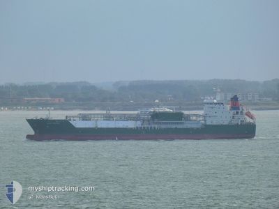
HAPPY KESTREL
Tanker A
Current Trip
| Time Travelled | 49 days |
|---|---|
| Remaining Time | --- |
| Distance Travelled | 7084.72 nm |
| Remaining Distance | --- |
| AVG Speed | 12.3 Noeuds |
| MAX Speed | 14.3 Noeuds |
| AVG Wind | 12.4 knots |
| MAX Wind | 34.8 knots |
| MIN Temp | 11.5°C / 52.7°F |
| MAX Temp | 29.3°C / 84.74°F |
| Tirant d eau | 7.9 m |
| Position reçue | 26 d depuis |
Current Position
| Longitude | -58.05126° |
|---|---|
| Latitude | -38.75639° |
| Etat | Under way using engine |
| Vitesse | 11.5 Noeuds |
| Parcours | 251.1° |
| Zone | South Atlantic Ocean |
| Station | T-AIS |
| Position reçue | 26 d depuis |
Info
Information
The current position of HAPPY KESTREL is in South Atlantic Ocean with coordinates -38.75639° / -58.05126° as reported on 2024-03-30 15:59 by AIS to our vessel tracker app. The vessel's current speed is 11.5 Noeuds
The vessel HAPPY KESTREL (IMO: 9543043, MMSI: 219221000) is a Tanker A It's sailing under the flag of [DK] Denmark.
In this page you can find informations about the vessels current position, last detected port calls, and current voyage information. If the vessels is not in coverage by AIS you will find the latest position.
The current position of HAPPY KESTREL is detected by our AIS receivers and we are not responsible for the reliability of the data. The last position was recorded while the vessel was in Coverage by the Ais receivers of our vessel tracking app.
The current draught of HAPPY KESTREL as reported by AIS is 7.9 meters
Weather
| Temperature | 15.5°C / 59.9°F |
|---|---|
| Wind Speed | 16 knots |
| Direction | 333° NNW |
| Pressure | 1009.3 hPa |
| Humidity | 76.4 % |
| Cloud Coverage | 72 % |
Featured Company
Last Port Calls
| Port | Arrival | Departure | Time In Port |
|---|---|---|---|
| 2024-03-07 11:06 | |||
| 2024-02-27 01:47 | |||
| 2024-02-16 19:04 | |||
| 2024-02-16 09:18 | 2024-02-16 14:24 | 5 h | |
| 2024-02-08 18:05 | 2024-02-10 14:51 | 1 d | |
| 2024-02-07 00:39 | 2024-02-08 07:39 | 1 d | |
| 2024-02-01 10:41 |
Most Visited Ports (Last year)
| Port | Arrivals | |
|---|---|---|
| 4 | ||
| 4 | ||
| 3 | ||
| 3 | ||
| 2 | ||
| 2 |
Last Trips
| Origin | Departure | Destination | Arrival | Distance | |
|---|---|---|---|---|---|
| 2024-02-16 15:24 | 2024-02-16 20:04 | 1.96 nm | |||
| 2024-02-10 15:51 | 2024-02-16 10:18 | 410.06 nm | |||
| 2024-02-08 08:39 | 2024-02-08 19:05 | 115.89 nm | |||
| 2024-02-01 11:41 | 2024-02-07 01:39 | 580.32 nm |
Events
| Heure | Evenement | Détails | Position/ Destination | Info |
|---|---|---|---|---|
| 2024-04-19 00:46 | Arret |
-39.32329 / -61.55206
LYRLA - ARBHI
|
Vitesse: 0.2 kn Parcours: 40° |
|
| 2024-04-18 21:48 | Démarrage | 15.89 nm, South East of PUERTO ROSALES |
-39.08793 / -61.79850
LYRLA - ARBHI
|
Vitesse: 7.3 kn Parcours: 153° |
| 2024-04-18 18:12 | Arret | 15.86 nm, South East of PUERTO ROSALES |
-39.08472 / -61.79622
LYRLA - ARBHI
|
Vitesse: 0.2 kn Parcours: 317° |
| 2024-04-18 15:48 | Démarrage |
-39.31341 / -61.56597
LYRLA - ARBHI
|
Vitesse: 8.2 kn Parcours: 300° |