
DA LIANG
Cargo
Current Trip
| Time Travelled | 9 days |
|---|---|
| Remaining Time | 1 day |
| Distance Travelled | 2598.06 nm |
| Remaining Distance | 579.73 nm |
| AVG Speed | 11.5 Noeuds |
| MAX Speed | 14.7 Noeuds |
| AVG Wind | 13.4 knots |
| MAX Wind | 26 knots |
| MIN Temp | 19°C / 66.2°F |
| MAX Temp | 29.2°C / 84.56°F |
| Tirant d eau | 10.1 m |
| Position reçue | 4 d depuis |
Current Position
| Longitude | --- |
|---|---|
| Latitude | --- |
| Etat | Under way using engine |
| Vitesse | 13.1 Noeuds |
| Parcours | 310.6° |
| Zone | Malacca Strait |
| Station | T-AIS |
| Position reçue | 4 d depuis |
Info
Information
The current position of DA LIANG is in Malacca Strait with coordinates 2.17660° / 101.98477° as reported on 2025-12-09 08:06 by AIS to our vessel tracker app. The vessel's current speed is 13.1 Noeuds and is heading at the port of TUTICORIN. The estimated time of arrival as calculated by MyShipTracking vessel tracking app is 2025-12-15 03:52 LT
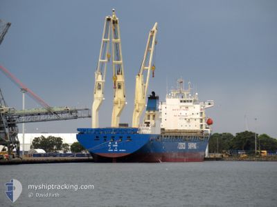
The vessel DA LIANG (IMO: 9608415, MMSI: 413479970) is a Cargo It's sailing under the flag of [CN] China.
In this page you can find informations about the vessels current position, last detected port calls, and current voyage information. If the vessels is not in coverage by AIS you will find the latest position.
The current position of DA LIANG is detected by our AIS receivers and we are not responsible for the reliability of the data. The last position was recorded while the vessel was in Coverage by the Ais receivers of our vessel tracking app.
The current draught of DA LIANG as reported by AIS is 10.1 meters
Weather
| Temperature | 27.7°C / 81.86°F |
|---|---|
| Wind Speed | 12 knots |
| Direction | 24° NNE |
| Pressure | 1007.9 hPa |
| Humidity | 71.6 % |
| Cloud Coverage | 79 % |
Featured Company
Last Trips
Events
| Heure | Evenement | Détails | Position/ Destination | Info |
|---|---|---|---|---|
| 2025-12-09 08:12 | Etat Changé | Default Under way using engine |
2.19050 / 101.96863
TUTICORIN
|
Vitesse: 13.1 kn Parcours: 310.6° |
| 2025-12-09 08:06 | Hors de la zone couverte |
2.17660 / 101.98477
Malacca Strait
TUTICORIN
|
Vitesse: 13.1 kn Parcours: 310.6° |
|
| 2025-12-09 05:49 | Changement de zone | Malaysian part of the Malacca Strait Malaysian part of the Singapore Strait |
1.90438 / 102.35558
Malacca Strait
TUTICORIN
|
Vitesse: 11.4 kn Parcours: 295.3° |
| 2025-12-09 05:48 | Etat Changé | Under way using engine Default |
1.90277 / 102.35891
TUTICORIN
|
Vitesse: 11.2 kn Parcours: 296° |
| 2025-12-09 05:41 | Dans la zone couverte |
1.90438 / 102.35558
Malacca Strait
TUTICORIN
|
Vitesse: 11.4 kn Parcours: 295.3° |
|
| 2025-12-08 22:41 | Etat Changé | Default Under way using engine |
1.22153 / 103.49090
TUTICORIN
|
Vitesse: 13.5 kn Parcours: 287.9° |
| 2025-12-08 22:35 | Hors de la zone couverte |
1.21507 / 103.51059
Singapore Strait
TUTICORIN
|
Vitesse: 13.5 kn Parcours: 287.9° |
|
| 2025-12-08 22:13 | Changement de zone | Malaysian part of the Singapore Strait Indonesian part of the Singapore Strait |
1.19701 / 103.58759
Singapore Strait
TUTICORIN
|
Vitesse: 11.6 kn Parcours: 267.4° |
| 2025-12-08 21:52 | Changement de zone | Indonesian part of the Singapore Strait Singaporean part of the Singapore Strait |
1.18642 / 103.65895
Singapore Strait
TUTICORIN
|
Vitesse: 12.1 kn Parcours: 295° |
| 2025-12-08 21:37 | Changement de zone | Singaporean part of the Singapore Strait Indonesian part of the Singapore Strait |
1.16149 / 103.69853
Singapore Strait
TUTICORIN
|
Vitesse: 11.2 kn Parcours: 312.2° |