
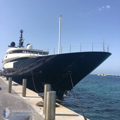
Unkown Name
Not available
Current Trip
Unknown
| Time Travelled | 6 days |
|---|---|
| Remaining Time | --- |
| Distance Travelled | 245.92 nm |
| Remaining Distance | --- |
| AVG Speed | 9.3 Knots |
| MAX Speed | 17 Knots |
| AVG Wind | 15.9 knots |
| MAX Wind | 22 knots |
| MIN Temp | 22°C / 71.6°F |
| MAX Temp | 24.2°C / 75.56°F |
| Dybgang | 0 m |
| Position Modtaget | 1 d siden |
Current Position
| Longitude | -76.38574° |
|---|---|
| Latitude | 25.53318° |
| Status | Under way using engine |
| Fart | 17 Knots |
| Kurs | 121.7° |
| Område | North Atlantic Ocean |
| Station | T-AIS |
| Position Modtaget | 1 d siden |
Info
Information
The current position of Unkown Name is in North Atlantic Ocean with coordinates 25.53318° / -76.38574° as reported on 2024-04-29 00:06 by AIS to our vessel tracker app. The vessel's current speed is 17 Knots
The vessel Unkown Name (MMSI: 319225300) is a Not available It's sailing under the flag of [KY] Cayman Is.
In this page you can find informations about the vessels current position, last detected port calls, and current voyage information. If the vessels is not in coverage by AIS you will find the latest position.
The current position of Unkown Name is detected by our AIS receivers and we are not responsible for the reliability of the data. The last position was recorded while the vessel was in Coverage by the Ais receivers of our vessel tracking app.
Weather
| Temperature | 23.2°C / 73.76°F |
|---|---|
| Wind Speed | 17 knots |
| Direction | 87° E |
| Pressure | 1019.7 hPa |
| Humidity | 60.8 % |
| Cloud Coverage | 84 % |
Featured Company
Most Visited Ports (Last year)
| Port | Arrivals | |
|---|---|---|
| 5 | ||
| 2 | ||
| 1 | ||
| 1 | ||
| 1 | ||
| 1 |
Events
| Tid | Hændelsen | Detaljer | Position / Dest | Info |
|---|---|---|---|---|
| 2024-04-29 00:06 | Udenfor Dækning |
25.53318 / -76.38574
North Atlantic Ocean
|
Fart: 17 kn Kurs: 121.7° |
|
| 2024-04-28 22:46 | Indenfor Dækning |
25.64885 / -76.74376
North Atlantic Ocean
|
Fart: 15 kn Kurs: 89.9° |
|
| 2024-04-28 19:30 | Udenfor Dækning |
25.14055 / -77.48902
North Atlantic Ocean
|
Fart: 15.4 kn Kurs: 49.4° |
|
| 2024-04-28 18:24 | START Sejllads | 12.09 nm, South West of NASSAU |
24.98616 / -77.52822
|
Fart: 6 kn Kurs: 278° |
| 2024-04-28 18:07 | Status er ændret | Under way using engine At anchor |
24.98679 / -77.52179
|
Fart: Kurs: 110° |
| 2024-04-28 09:46 | Indenfor Dækning |
24.98644 / -77.52190
North Atlantic Ocean
|
Fart: 0.1 kn Kurs: 302.8° |
|
| 2024-04-28 00:04 | Udenfor Dækning |
24.98656 / -77.52186
North Atlantic Ocean
|
Fart: Kurs: 228.5° |
|
| 2024-04-27 20:46 | Indenfor Dækning |
24.98690 / -77.52200
North Atlantic Ocean
|
Fart: 0.3 kn Kurs: 140.5° |
|
| 2024-04-27 19:01 | Udenfor Dækning |
24.98675 / -77.52199
North Atlantic Ocean
|
Fart: 0.2 kn Kurs: 148.5° |
|
| 2024-04-27 16:25 | STOP Sejllads | 11.76 nm, South West of NASSAU |
24.98697 / -77.52197
|
Fart: 0.2 kn Kurs: 95° |