
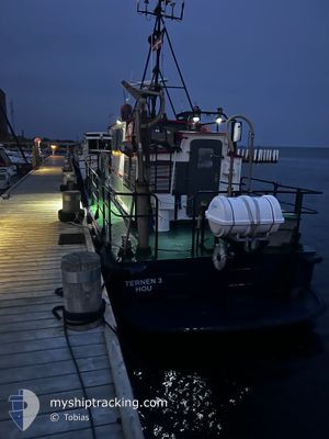
TERNEN 3
Cargo
Current Trip
| Time Travelled | 1 day |
|---|---|
| Remaining Time | --- |
| Distance Travelled | 7.70 nm |
| Remaining Distance | --- |
| AVG Speed | 13 Knots |
| MAX Speed | 14.9 Knots |
| AVG Wind | 11.4 knots |
| MAX Wind | 13.3 knots |
| MIN Temp | 6.1°C / 42.98°F |
| MAX Temp | 6.2°C / 43.16°F |
| Dybgang | 1.5 m |
| Position Modtaget | 1 m siden |
Current Position
| Longitude | --- |
|---|---|
| Latitude | --- |
| Status | Under way using engine |
| Fart | |
| Kurs | --- |
| Område | Kattegat |
| Station | T-AIS |
| Position Modtaget | 1 m siden |
Info
Information
The current position of TERNEN 3 is in Kattegat with coordinates 55.91017° / 10.25582° as reported on 2025-12-20 14:22 by AIS to our vessel tracker app. The vessel's current speed is 0 Knots
The vessel TERNEN 3 (MMSI: 219023467) is a Cargo It's sailing under the flag of [DK] Denmark.
In this page you can find informations about the vessels current position, last detected port calls, and current voyage information. If the vessels is not in coverage by AIS you will find the latest position.
The current position of TERNEN 3 is detected by our AIS receivers and we are not responsible for the reliability of the data. The last position was recorded while the vessel was in Coverage by the Ais receivers of our vessel tracking app.
The current draught of TERNEN 3 as reported by AIS is 1.5 meters
Weather
| Temperature | 6.7°C / 44.06°F |
|---|---|
| Wind Speed | 7 knots |
| Direction | 243° WSW |
| Pressure | 1016.5 hPa |
| Humidity | 89.1 % |
| Cloud Coverage | 5 % |
Featured Company
Events
| Tid | Hændelsen | Detaljer | Position / Dest | Info |
|---|---|---|---|---|
| 2025-12-18 17:57 | STOP Sejllads | 0.18 nm, South West of HOV |
55.91016 / 10.25582
HOU
|
Fart: 0.3 kn Kurs: 511° |
| 2025-12-18 17:23 | Afsejlet fra sidste havn |
|
55.94794 / 10.45849
HOU
|
Fart: 10 kn Kurs: 101.2° |
| 2025-12-18 17:23 | START Sejllads |
55.94895 / 10.45843
[DK] TUNO
|
Fart: 10 kn Kurs: 101.2° |
|
| 2025-12-18 17:12 | STOP Sejllads |
55.94842 / 10.45491
[DK] TUNO
|
Fart: 0.3 kn Kurs: 511° |
|
| 2025-12-18 17:11 | Skibe i havn |
|
55.94886 / 10.45547
[DK] TUNO
|
Fart: 8.1 kn Kurs: 270.7° |
| 2025-12-18 16:47 | Status er ændret | Under way using engine Moored |
55.92559 / 10.30697
HOU
|
Fart: 14.4 kn Kurs: 86.4° |
| 2025-12-18 16:39 | START Sejllads | 0.15 nm, South West of HOV |
55.90999 / 10.25727
HOU
|
Fart: 5.8 kn Kurs: 107.4° |
| 2025-12-18 15:45 | Status er ændret | Moored Default |
55.91016 / 10.25577
HOU
|
Fart: Kurs: -1° |
| 2025-12-18 15:40 | Status er ændret | Default Moored |
55.91023 / 10.25584
HOU
|
Fart: Kurs: 511° |
| 2025-12-18 13:21 | Status er ændret | Moored Default |
55.91017 / 10.25587
HOU
|
Fart: Kurs: -1° |