
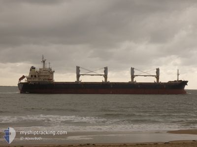
SIGMA TRADER
Bulk Carrier
Current Trip
| Time Travelled | 11 days |
|---|---|
| Remaining Time | --- |
| Distance Travelled | 1441.17 nm |
| Remaining Distance | --- |
| AVG Speed | 9 Knots |
| MAX Speed | 12.2 Knots |
| AVG Wind | 9.1 knots |
| MAX Wind | 18.9 knots |
| MIN Temp | 19.6°C / 67.28°F |
| MAX Temp | 31.6°C / 88.88°F |
| Dybgang | 6.6 m |
| Position Modtaget | 5 d siden |
Current Position
| Longitude | -48.11003° |
|---|---|
| Latitude | -25.67470° |
| Status | Under way using engine |
| Fart | 0.3 Knots |
| Kurs | 238° |
| Område | South Atlantic Ocean |
| Station | T-AIS |
| Position Modtaget | 5 d siden |
Info
Information
The current position of SIGMA TRADER is in South Atlantic Ocean with coordinates -25.67470° / -48.11003° as reported on 2024-04-24 20:46 by AIS to our vessel tracker app. The vessel's current speed is 0.3 Knots
The vessel SIGMA TRADER (IMO: 9486568, MMSI: 538008018) is a Bulk Carrier that was built in 2010 ( 14 år gamle ). It's sailing under the flag of [MH] Marshall Is.
In this page you can find informations about the vessels current position, last detected port calls, and current voyage information. If the vessels is not in coverage by AIS you will find the latest position.
The current position of SIGMA TRADER is detected by our AIS receivers and we are not responsible for the reliability of the data. The last position was recorded while the vessel was in Coverage by the Ais receivers of our vessel tracking app.
The current draught of SIGMA TRADER as reported by AIS is 6.6 meters
Weather
| Temperature | 21.6°C / 70.88°F |
|---|---|
| Wind Speed | 1 knots |
| Direction | 294° WNW |
| Pressure | 1011.7 hPa |
| Humidity | 99.1 % |
| Cloud Coverage | 39 % |
Featured Company
Last Trips
| Origin | Departure | Destination | Arrival | Distance | |
|---|---|---|---|---|---|
| 2024-04-12 18:35 | 2024-04-14 15:47 | 416.52 nm | |||
| 2024-03-06 14:43 | 2024-04-10 08:26 | 5322.60 nm | |||
| 2024-03-03 22:25 | 2024-03-04 06:52 | 82.35 nm | |||
| 2024-02-28 12:56 | 2024-03-03 22:22 | 483.41 nm | |||
| 2024-01-26 17:09 | 2024-02-17 18:53 | 3868.91 nm |
Events
| Tid | Hændelsen | Detaljer | Position / Dest | Info |
|---|---|---|---|---|
| 2024-04-25 02:37 | STOP Sejllads | 4.88 nm, North West of PONTAL DO SUL |
-25.49667 / -48.40500
BR PNG
|
Fart: Kurs: -1° |
| 2024-04-24 23:33 | START Sejllads | 12.96 nm, South East of ILHA DO MEL |
-25.67344 / -48.11505
BR PNG
|
Fart: 6.6 kn Kurs: 102° |
| 2024-04-24 20:50 | Status er ændret | Default Under way using engine |
-25.67453 / -48.11042
BR PNG
|
Fart: 0.3 kn Kurs: 238° |
| 2024-04-24 20:46 | Udenfor Dækning |
-25.67470 / -48.11003
South Atlantic Ocean
BR PNG
|
Fart: 0.3 kn Kurs: 296.3° |
|
| 2024-04-24 20:45 | Status er ændret | Under way using engine Default |
-25.67472 / -48.10999
BR PNG
|
Fart: Kurs: -1° |
| 2024-04-24 20:37 | Indenfor Dækning |
-25.67470 / -48.11003
South Atlantic Ocean
BR PNG
|
Fart: 0.3 kn Kurs: 296.3° |
|
| 2024-04-24 17:49 | STOP Sejllads | 14.69 nm, South East of ILHA DO MEL |
-25.68500 / -48.08500
BR PNG
|
Fart: Kurs: -1° |
| 2024-04-24 12:34 | Status er ændret | Default Under way using engine |
-25.32500 / -47.43833
BR PNG
|
Fart: 9.8 kn Kurs: 247.6° |
| 2024-04-24 12:26 | Udenfor Dækning |
-25.31696 / -47.41682
South Atlantic Ocean
BR PNG
|
Fart: 9.8 kn Kurs: 247.6° |
|
| 2024-04-24 12:25 | Status er ændret | Under way using engine Default |
-25.31661 / -47.41588
BR PNG
|
Fart: 9.8 kn Kurs: 246° |