
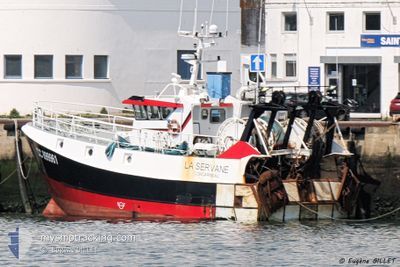
F/V MAGELAN II
Fishing
Current Trip
Unknown
| Time Travelled | 1 day |
|---|---|
| Remaining Time | --- |
| Distance Travelled | 44.07 nm |
| Remaining Distance | --- |
| AVG Speed | 7.4 Knots |
| MAX Speed | 8.9 Knots |
| AVG Wind | 11.2 knots |
| MAX Wind | 13 knots |
| MIN Temp | 14.4°C / 57.92°F |
| MAX Temp | 15°C / 59°F |
| Dybgang | 0 m |
| Position Modtaget | 1 d siden |
Current Position
| Longitude | -5.80503° |
|---|---|
| Latitude | 47.75097° |
| Status | Default |
| Fart | 2.4 Knots |
| Kurs | --- |
| Område | Celtic Sea |
| Station | T-AIS |
| Position Modtaget | 1 d siden |
Info
Information
The current position of F/V MAGELAN II is in Celtic Sea with coordinates 47.75097° / -5.80503° as reported on 2024-06-05 07:36 by AIS to our vessel tracker app. The vessel's current speed is 2.4 Knots
The vessel F/V MAGELAN II (MMSI: 228231800) is a Fishing It's sailing under the flag of [FR] France.
In this page you can find informations about the vessels current position, last detected port calls, and current voyage information. If the vessels is not in coverage by AIS you will find the latest position.
The current position of F/V MAGELAN II is detected by our AIS receivers and we are not responsible for the reliability of the data. The last position was recorded while the vessel was in Coverage by the Ais receivers of our vessel tracking app.
Weather
| Temperature | 14.6°C / 58.28°F |
|---|---|
| Wind Speed | 9 knots |
| Direction | 4° N |
| Pressure | 1017 hPa |
| Humidity | 80.6 % |
| Cloud Coverage | 100 % |
Featured Company
Most Visited Ports (Last year)
| Port | Arrivals | |
|---|---|---|
| 15 |
Events
| Tid | Hændelsen | Detaljer | Position / Dest | Info |
|---|---|---|---|---|
| 2024-06-05 07:36 | Udenfor Dækning |
47.75097 / -5.80503
Celtic Sea
|
Fart: 2.4 kn Kurs: 285.1° |
|
| 2024-06-05 06:20 | Indenfor Dækning |
47.74115 / -5.71779
Celtic Sea
|
Fart: 2.8 kn Kurs: 291.5° |
|
| 2024-06-05 05:13 | Udenfor Dækning |
47.69864 / -5.68502
Celtic Sea
|
Fart: 1.6 kn Kurs: 1° |
|
| 2024-06-05 03:36 | Indenfor Dækning |
47.63625 / -5.69899
Celtic Sea
|
Fart: 2.4 kn Kurs: 19° |
|
| 2024-06-04 22:45 | Udenfor Dækning |
47.57164 / -5.33936
Celtic Sea
|
Fart: 7.9 kn Kurs: 251.1° |
|
| 2024-06-04 20:22 | Ændre havområde | French part of the Celtic Sea French part of the Bay of Biscay |
47.63455 / -4.88829
Celtic Sea
|
Fart: 8.8 kn Kurs: 255.3° |
| 2024-06-04 20:21 | Indenfor Dækning |
47.63455 / -4.88829
Celtic Sea
|
Fart: 8.8 kn Kurs: 255.3° |
|
| 2024-06-04 17:25 | Afsejlet fra sidste havn |
|
47.63479 / -4.88668
|
Fart: 4.1 kn Kurs: 68.3° |
| 2024-06-02 08:54 | Udenfor Dækning |
47.79257 / -4.28282
Bay of Biscay
[FR] GUILVINEC
|
Fart: 4.1 kn Kurs: 68.3° |
|
| 2024-06-02 08:51 | Skibe i havn |
|
47.79052 / -4.28685
[FR] GUILVINEC
|
Fart: 3.9 kn Kurs: 36.8° |