
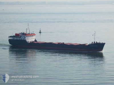
SORMOVSKIY-3058
General Cargo
Current Trip
| Time Travelled | 10 days |
|---|---|
| Remaining Time | --- |
| Distance Travelled | 903.59 nm |
| Remaining Distance | --- |
| AVG Speed | 7.5 Knots |
| MAX Speed | 10.7 Knots |
| AVG Wind | 9.7 knots |
| MAX Wind | 26 knots |
| MIN Temp | 11.4°C / 52.52°F |
| MAX Temp | 21.5°C / 70.7°F |
| Draught | 3.2 m |
| Position Received | 8 d ago |
Current Position
| Longitude | 29.22076° |
|---|---|
| Latitude | 41.25898° |
| Status | Under way using engine |
| Speed | 9 Knots |
| Course | 61.9° |
| Area | Black Sea |
| Station | T-AIS |
| Position Received | 8 d ago |
Info
Information
The current position of SORMOVSKIY-3058 is in Black Sea with coordinates 41.25898° / 29.22076° as reported on 2024-04-11 15:09 by AIS to our vessel tracker app. The vessel's current speed is 9 Knots and is heading at the port of ROSTOV-ON-DON. The estimated time of arrival as calculated by MyShipTracking vessel tracking app is 2024-04-15 06:00 LT
The vessel SORMOVSKIY-3058 (IMO: 8419647, MMSI: 273316400) is a General Cargo that was built in 1987 ( 37 years old ). It's sailing under the flag of [RU] Russia.
In this page you can find informations about the vessels current position, last detected port calls, and current voyage information. If the vessels is not in coverage by AIS you will find the latest position.
The current position of SORMOVSKIY-3058 is detected by our AIS receivers and we are not responsible for the reliability of the data. The last position was recorded while the vessel was in Coverage by the Ais receivers of our vessel tracking app.
The current draught of SORMOVSKIY-3058 as reported by AIS is 3.2 meters
Weather
| Temperature | 18.3°C / 64.94°F |
|---|---|
| Wind Speed | 9 knots |
| Direction | 285° WNW |
| Pressure | 1005.8 hPa |
| Humidity | 50.7 % |
| Cloud Coverage | 75 % |
Featured Company
Events
| Time | Event | Details | Position / Dest | Info |
|---|---|---|---|---|
| 2024-04-17 09:01 | STOP Moving | 17.85 nm, North East of YEYSK |
46.99856 / 38.45514
RUROV
|
Speed: 0.1 kn Course: 211° |
| 2024-04-15 06:17 | STOP Moving | 17.83 nm, North East of YEYSK |
46.99820 / 38.45517
RUROV
|
Speed: 0.1 kn Course: 226° |
| 2024-04-14 09:30 | START Moving | 9.68 nm, South of TAMAN |
44.96532 / 36.61629
RUROV
|
Speed: 4.1 kn Course: 308° |
| 2024-04-13 15:48 | STOP Moving | 9.61 nm, South of TAMAN |
44.96597 / 36.61915
RUROV
|
Speed: Course: 83° |
| 2024-04-11 15:15 | Status Changed | Default Under way using engine |
41.26659 / 29.23930
RUROV
|
Speed: 9 kn Course: 61.9° |
| 2024-04-11 15:09 | OUT of Coverage |
41.25898 / 29.22076
Black Sea
RUROV
|
Speed: 9 kn Course: 61.9° |
|
| 2024-04-11 14:47 | Change Sea Area | Turkish part of the Black Sea Turkish part of the Sea of Marmara |
41.23273 / 29.15852
Black Sea
RUROV
|
Speed: 8.7 kn Course: 56.1° |
| 2024-04-11 09:22 | START Moving | 13.93 nm, South of YESILKOY |
40.72395 / 28.85144
RUROV
|
Speed: 3.1 kn Course: 1° |
| 2024-04-11 07:27 | Status Changed | Under way using engine Default |
40.75003 / 28.87476
RUROV
|
Speed: 1.2 kn Course: 295° |
| 2024-04-11 07:21 | Status Changed | Default Under way using engine |
40.75153 / 28.87594
RUROV
|
Speed: 1.1 kn Course: 296° |