
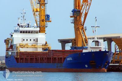
ARRISCAR
General Cargo
Current Trip
PORT HARCOURT
| Time Travelled | 34 days |
|---|---|
| Remaining Time | --- |
| Distance Travelled | 5597.41 nm |
| Remaining Distance | --- |
| AVG Speed | 10 Knots |
| MAX Speed | 13.7 Knots |
| AVG Wind | 10.6 knots |
| MAX Wind | 23 knots |
| MIN Temp | 16.7°C / 62.06°F |
| MAX Temp | 31.6°C / 88.88°F |
| Draught | 4.8 m |
| Position Received | 2 d ago |
Current Position
| Longitude | 18.17491° |
|---|---|
| Latitude | -34.54839° |
| Status | Under way using engine |
| Speed | 11.2 Knots |
| Course | 308.5° |
| Area | South Atlantic Ocean |
| Station | T-AIS |
| Position Received | 2 d ago |
Info
Information
The current position of ARRISCAR is in South Atlantic Ocean with coordinates -34.54839° / 18.17491° as reported on 2024-04-21 20:53 by AIS to our vessel tracker app. The vessel's current speed is 11.2 Knots
The vessel ARRISCAR (IMO: 9195482, MMSI: 236339000) is a General Cargo that was built in 2006 ( 18 years old ). It's sailing under the flag of [GI] Gibraltar.
In this page you can find informations about the vessels current position, last detected port calls, and current voyage information. If the vessels is not in coverage by AIS you will find the latest position.
The current position of ARRISCAR is detected by our AIS receivers and we are not responsible for the reliability of the data. The last position was recorded while the vessel was in Coverage by the Ais receivers of our vessel tracking app.
The current draught of ARRISCAR as reported by AIS is 4.8 meters
Weather
| Temperature | 20.1°C / 68.18°F |
|---|---|
| Wind Speed | 16 knots |
| Direction | 155° SSE |
| Pressure | 1019.7 hPa |
| Humidity | 70.7 % |
| Cloud Coverage | 100 % |
Featured Company
Last Port Calls
| Port | Arrival | Departure | Time In Port |
|---|---|---|---|
| 2024-03-08 05:52 | 2024-03-21 02:01 | 12 d | |
| 2024-02-21 04:39 | 2024-02-21 13:45 | 9 h | |
| 2024-02-12 17:29 | 2024-02-13 13:34 | 20 h | |
| 2024-02-02 05:40 |
Events
| Time | Event | Details | Position / Dest | Info |
|---|---|---|---|---|
| 2024-04-23 09:30 | START Moving |
-30.43475 / 15.04929
PORT HARCOURT
|
Speed: 4.2 kn Course: 343° |
|
| 2024-04-23 09:22 | STOP Moving |
-30.43433 / 15.04648
PORT HARCOURT
|
Speed: 0.3 kn Course: 166° |
|
| 2024-04-21 20:57 | Status Changed | Default Under way using engine |
-34.54105 / 18.16436
PORT HARCOURT
|
Speed: 11.2 kn Course: 308.5° |
| 2024-04-21 20:53 | OUT of Coverage |
-34.54839 / 18.17491
South Atlantic Ocean
PORT HARCOURT
|
Speed: 11.2 kn Course: 308.5° |
|
| 2024-04-21 20:32 | Status Changed | Under way using engine Default |
-34.58749 / 18.23909
PORT HARCOURT
|
Speed: 11.1 kn Course: 304° |
| 2024-04-21 20:26 | Status Changed | Default Under way using engine |
-34.59689 / 18.25490
PORT HARCOURT
|
Speed: 10.8 kn Course: 301.5° |
| 2024-04-21 20:16 | Draught Changed | 4.8 0 |
-34.61885 / 18.28698
PORT HARCOURT
|
Speed: 11.1 kn Course: 314.2° |
| 2024-04-21 20:12 | Status Changed | Under way using engine Default |
-34.62510 / 18.29521
|
Speed: 11.2 kn Course: 315° |
| 2024-04-21 20:11 | Status Changed | Default Under way using engine |
-34.62861 / 18.29979
|
Speed: 11.3 kn Course: 311.4° |
| 2024-04-21 19:49 | Status Changed | Under way using engine Default |
-34.67146 / 18.36161
|
Speed: 11 kn Course: 305° |