
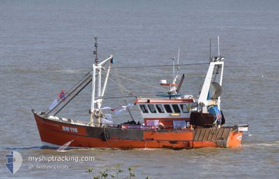
OUR SARAH JANE NN710
Fishing
Current Trip
Unknown
| Time Travelled | 47 days |
|---|---|
| Remaining Time | --- |
| Distance Travelled | 265.28 nm |
| Remaining Distance | --- |
| AVG Speed | 6.5 Knots |
| MAX Speed | 9.9 Knots |
| AVG Wind | 10.8 knots |
| MAX Wind | 23 knots |
| MIN Temp | 5.2°C / 41.36°F |
| MAX Temp | 12.7°C / 54.86°F |
| Draught | --- |
| Position Received | 2 d ago |
Current Position
| Longitude | 0.11825° |
|---|---|
| Latitude | 50.70121° |
| Status | Default |
| Speed | 6.6 Knots |
| Course | 94.3° |
| Area | English Channel |
| Station | T-AIS |
| Position Received | 2 d ago |
Info
Information
The current position of OUR SARAH JANE NN710 is in English Channel with coordinates 50.70121° / 0.11825° as reported on 2024-04-17 09:16 by AIS to our vessel tracker app. The vessel's current speed is 6.6 Knots
The vessel OUR SARAH JANE NN710 (MMSI: 235080549) is a Fishing It's sailing under the flag of [GB] United Kingdom.
In this page you can find informations about the vessels current position, last detected port calls, and current voyage information. If the vessels is not in coverage by AIS you will find the latest position.
The current position of OUR SARAH JANE NN710 is detected by our AIS receivers and we are not responsible for the reliability of the data. The last position was recorded while the vessel was in Coverage by the Ais receivers of our vessel tracking app.
Weather
| Temperature | 7°C / 44.6°F |
|---|---|
| Wind Speed | 18 knots |
| Direction | 319° NW |
| Pressure | 1016.9 hPa |
| Humidity | 73.5 % |
| Cloud Coverage | 60 % |
Featured Company
Most Visited Ports (Last year)
| Port | Arrivals | |
|---|---|---|
| 49 |
Last Trips
| Origin | Departure | Destination | Arrival | Distance |
|---|
Events
| Time | Event | Details | Position / Dest | Info |
|---|---|---|---|---|
| 2024-04-17 09:16 | OUT of Coverage |
50.70121 / .11825
English Channel
|
Speed: 6.6 kn Course: 94.3° |
|
| 2024-04-17 06:28 | IN Coverage |
50.75918 / .04205
English Channel
|
Speed: 7.4 kn Course: 217.7° |
|
| 2024-04-16 10:38 | OUT of Coverage |
50.69707 / .05487
English Channel
|
Speed: 7.3 kn Course: 85.9° |
|
| 2024-04-16 07:57 | IN Coverage |
50.75972 / .04239
English Channel
|
Speed: 8.1 kn Course: 215.7° |
|
| 2024-04-14 12:23 | OUT of Coverage |
50.69002 / .18911
English Channel
|
Speed: 0.9 kn Course: 17.8° |
|
| 2024-04-14 12:17 | IN Coverage |
50.68646 / .19174
English Channel
|
Speed: 2.3 kn Course: 343.5° |
|
| 2024-04-14 09:35 | OUT of Coverage |
50.69526 / .10345
English Channel
|
Speed: 7 kn Course: 85.4° |
|
| 2024-04-14 06:46 | IN Coverage |
50.77111 / .05720
English Channel
|
Speed: 7.8 kn Course: 202.5° |
|
| 2024-04-13 10:03 | OUT of Coverage |
50.73958 / .06264
English Channel
|
Speed: 2.3 kn Course: 344.4° |
|
| 2024-04-13 09:30 | START Moving | 3.59 nm, South of NEWHAVEN |
50.72721 / .05092
|
Speed: 3.2 kn Course: 336.8° |