
OKEANOS EXPLORER
Other Type
Current Trip
| Time Travelled | 9 days |
|---|---|
| Remaining Time | --- |
| Distance Travelled | 1726.35 nm |
| Remaining Distance | --- |
| AVG Speed | 8.1 Knots |
| MAX Speed | 8.1 Knots |
| AVG Wind | 13.1 knots |
| MAX Wind | 24.8 knots |
| MIN Temp | 6.7°C / 44.06°F |
| MAX Temp | 19.9°C / 67.82°F |
| Draught | 6.5 m |
| Position Received | 6 d ago |
Current Position
| Longitude | -122.83245° |
|---|---|
| Latitude | 37.01085° |
| Status | Under way using engine |
| Speed | 8.6 Knots |
| Course | 195.8° |
| Area | North Pacific Ocean |
| Station | T-AIS |
| Position Received | 6 d ago |
Info
Information
The current position of OKEANOS EXPLORER is in North Pacific Ocean with coordinates 37.01085° / -122.83245° as reported on 2024-04-13 07:06 by AIS to our vessel tracker app. The vessel's current speed is 8.6 Knots and is heading at the port of SAN FRANCISCO. The estimated time of arrival as calculated by MyShipTracking vessel tracking app is 2024-05-04 20:00 LT
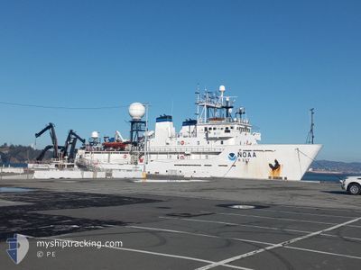
The vessel OKEANOS EXPLORER (IMO: 8835114, MMSI: 369888000) is a Other Type It's sailing under the flag of [US] USA.
In this page you can find informations about the vessels current position, last detected port calls, and current voyage information. If the vessels is not in coverage by AIS you will find the latest position.
The current position of OKEANOS EXPLORER is detected by our AIS receivers and we are not responsible for the reliability of the data. The last position was recorded while the vessel was in Coverage by the Ais receivers of our vessel tracking app.
The current draught of OKEANOS EXPLORER as reported by AIS is 6.5 meters
Weather
| Temperature | 19°C / 66.2°F |
|---|---|
| Wind Speed | 6 knots |
| Direction | 317° NW |
| Pressure | 1020.2 hPa |
| Humidity | 89.7 % |
| Cloud Coverage | 84 % |
Featured Company
Most Visited Ports (Last year)
| Port | Arrivals | |
|---|---|---|
| 3 | ||
| 1 | ||
| 1 | ||
| 1 | ||
| 1 |
Last Trips
| Origin | Departure | Destination | Arrival | Distance |
|---|
Events
| Time | Event | Details | Position / Dest | Info |
|---|---|---|---|---|
| 2024-04-14 16:06 | START Moving | 1.63 nm, South East of SANTA BARBARA |
34.38833 / -119.66500
USSFOA8 |
Speed: 4 kn Course: -1° |
| 2024-04-14 15:33 | STOP Moving | 1.69 nm, South East of SANTA BARBARA |
34.39047 / -119.66093
USSFOA8 |
Speed: 0.3 kn Course: 293° |
| 2024-04-13 07:09 | Status Changed | Default Under way using engine |
37.00252 / -122.83508
USSFOA8 |
Speed: 8.6 kn Course: 195.8° |
| 2024-04-13 07:06 | Status Changed | Under way using engine Default |
37.01085 / -122.83245
USSFOA8 |
Speed: 9 kn Course: 194° |
| 2024-04-13 07:06 | OUT of Coverage |
37.01085 / -122.83245
North Pacific Ocean
USSFOA8 |
Speed: 8.6 kn Course: 195.8° |
|
| 2024-04-13 07:02 | Status Changed | Default Under way using engine |
37.01983 / -122.82956
USSFOA8 |
Speed: 8.5 kn Course: 191° |
| 2024-04-13 06:58 | Status Changed | Under way using engine Default |
37.02999 / -122.82711
USSFOA8 |
Speed: 8.4 kn Course: 193° |
| 2024-04-13 06:35 | Status Changed | Default Under way using engine |
37.08496 / -122.80938
USSFOA8 |
Speed: 8.8 kn Course: 197.6° |
| 2024-04-13 06:29 | Status Changed | Under way using engine Default |
37.09831 / -122.80470
USSFOA8 |
Speed: 8 kn Course: 195° |
| 2024-04-13 06:19 | Status Changed | Default Under way using engine |
37.12237 / -122.79561
USSFOA8 |
Speed: 9.4 kn Course: 198° |