
KANG SHENG KOU
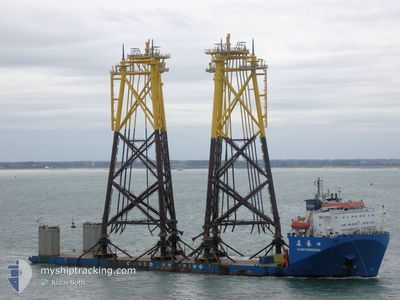
Heavy Lift Vessel
Current Trip
| Time Travelled | 12 days |
|---|---|
| Remaining Time | 11 h, 29 mins |
| Distance Travelled | 2805.88 nm |
| Remaining Distance | 97.21 nm |
| AVG Speed | 9 Knots |
| MAX Speed | 12 Knots |
| AVG Wind | 10.4 knots |
| MAX Wind | 22.9 knots |
| MIN Temp | 22.6°C / 72.68°F |
| MAX Temp | 29.4°C / 84.92°F |
| Draught | 6.8 m |
| Position Received | 2 d ago |
Current Position
| Longitude | 37.33801° |
|---|---|
| Latitude | 22.41381° |
| Status | Under way using engine |
| Speed | 9.5 Knots |
| Course | 333.6° |
| Area | Red Sea |
| Station | T-AIS |
| Position Received | 2 d ago |
Info
Information
The current position of KANG SHENG KOU is in Red Sea with coordinates 22.41381° / 37.33801° as reported on 2024-04-22 21:53 by AIS to our vessel tracker app. The vessel's current speed is 9.5 Knots and is heading at the port of SUEZ CANAL. The estimated time of arrival as calculated by MyShipTracking vessel tracking app is 2024-04-25 12:08 LT
The vessel KANG SHENG KOU (IMO: 9223289, MMSI: 412055000) is a Heavy Lift Vessel that was built in 2003 ( 21 years old ). It's sailing under the flag of [CN] China.
In this page you can find informations about the vessels current position, last detected port calls, and current voyage information. If the vessels is not in coverage by AIS you will find the latest position.
The current position of KANG SHENG KOU is detected by our AIS receivers and we are not responsible for the reliability of the data. The last position was recorded while the vessel was in Coverage by the Ais receivers of our vessel tracking app.
The current draught of KANG SHENG KOU as reported by AIS is 6.8 meters
Weather
| Temperature | 25.4°C / 77.72°F |
|---|---|
| Wind Speed | 1 knots |
| Direction | 221° SW |
| Pressure | 1004.9 hPa |
| Humidity | 30 % |
| Cloud Coverage | 98 % |
Featured Company
Last Trips
| Origin | Departure | Destination | Arrival | Distance |
|---|
Events
| Time | Event | Details | Position / Dest | Info |
|---|---|---|---|---|
| 2024-04-23 10:20 | START Moving |
23.97728 / 36.56217
SUEZ
|
Speed: 3.8 kn Course: 351° |
|
| 2024-04-23 09:40 | STOP Moving |
23.98244 / 36.56385
SUEZ
|
Speed: 0.3 kn Course: 48° |
|
| 2024-04-22 22:10 | Status Changed | Default Under way using engine |
22.46333 / 37.31167
SUEZ
|
Speed: 9.5 kn Course: 333.6° |
| 2024-04-22 21:53 | OUT of Coverage |
22.41381 / 37.33801
Red Sea
SUEZ
|
Speed: 9.5 kn Course: 333.6° |
|
| 2024-04-22 21:26 | Status Changed | Under way using engine Default |
22.35780 / 37.36627
SUEZ
|
Speed: 9 kn Course: 335° |
| 2024-04-22 21:07 | Status Changed | Default Under way using engine |
22.30833 / 37.38833
SUEZ
|
Speed: 9.7 kn Course: 337.4° |
| 2024-04-22 20:59 | Status Changed | Under way using engine Default |
22.28573 / 37.39909
SUEZ
|
Speed: 9.7 kn Course: 338° |
| 2024-04-22 20:16 | Status Changed | Default Under way using engine |
22.18021 / 37.44698
SUEZ
|
Speed: 9.7 kn Course: 335.8° |
| 2024-04-22 19:54 | Status Changed | Under way using engine Default |
22.12477 / 37.47282
SUEZ
|
Speed: 9 kn Course: 336° |
| 2024-04-22 19:15 | Status Changed | Default Under way using engine |
22.02959 / 37.51765
SUEZ
|
Speed: 9.6 kn Course: 335.7° |