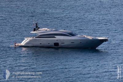
The current position of HONEYBADGER is in Mediterranean Sea - Eastern Basin with coordinates 36.63539° / 28.92566° as reported on 2023-12-01 17:29 by AIS to our vessel tracker app. The vessel's current speed is 22.8 Knots
The vessel HONEYBADGER (MMSI: 367785530) is a Pleasure Craft It's sailing under the flag of [US] USA.
In this page you can find informations about the vessels current position, last detected port calls, and current voyage information. If the vessels is not in coverage by AIS you will find the latest position.
The current position of HONEYBADGER is detected by our AIS receivers and we are not responsible for the reliability of the data. The last position was recorded while the vessel was in Coverage by the Ais receivers of our vessel tracking app.
Weather
Temperature
14.1°C / 57.38°F
Wind Speed
3 knots
Direction
50° NE
Pressure
1022.4 hPa
Humidity
85.2 %
Cloud Coverage
12 %
Featured Company
Limited time offer - Install a base station receiver to your area and list your company on MyShipTracking Free forever!