
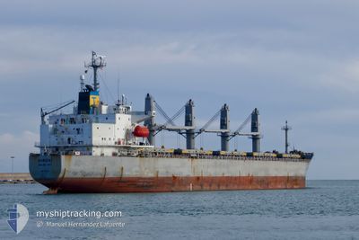
HIROKI
Bulk Carrier
Current Trip
SUEZ/SYRIAN CREW
| Time Travelled | --- |
|---|---|
| Remaining Time | --- |
| Distance Travelled | 6591.40 nm |
| Remaining Distance | --- |
| AVG Speed | 10.9 Knots |
| MAX Speed | 14.4 Knots |
| AVG Wind | 7.5 knots |
| MAX Wind | 21 knots |
| MIN Temp | 15.6°C / 60.08°F |
| MAX Temp | 32.5°C / 90.5°F |
| Draught | 11.6 m |
| Position Received | 19 h, 25 m ago |
Current Position
| Longitude | 37.39814° |
|---|---|
| Latitude | 22.42952° |
| Status | Under way using engine |
| Speed | 11.3 Knots |
| Course | 325.7° |
| Area | Red Sea |
| Station | T-AIS |
| Position Received | 19 h, 25 m ago |
Info
Information
The current position of HIROKI is in Red Sea with coordinates 22.42952° / 37.39814° as reported on 2024-04-19 14:36 by AIS to our vessel tracker app. The vessel's current speed is 11.3 Knots
The vessel HIROKI (IMO: 9181120, MMSI: 312099000) is a Bulk Carrier that was built in 1999 ( 25 years old ). It's sailing under the flag of [BZ] Belize.
In this page you can find informations about the vessels current position, last detected port calls, and current voyage information. If the vessels is not in coverage by AIS you will find the latest position.
The current position of HIROKI is detected by our AIS receivers and we are not responsible for the reliability of the data. The last position was recorded while the vessel was in Coverage by the Ais receivers of our vessel tracking app.
The current draught of HIROKI as reported by AIS is 11.6 meters
Weather
| Temperature | 23.7°C / 74.66°F |
|---|---|
| Wind Speed | 9 knots |
| Direction | 314° NW |
| Pressure | 1009.5 hPa |
| Humidity | 75.9 % |
| Cloud Coverage | --- |
Featured Company
Most Visited Ports (Last year)
| Port | Arrivals | |
|---|---|---|
| 2 | ||
| 2 | ||
| 1 | ||
| 1 | ||
| 1 | ||
| 1 |
Last Trips
| Origin | Departure | Destination | Arrival | Distance | |
|---|---|---|---|---|---|
| 2024-01-17 18:28 | 2024-02-08 21:38 | 1787.22 nm |
Events
| Time | Event | Details | Position / Dest | Info |
|---|---|---|---|---|
| 2024-04-19 14:36 | OUT of Coverage |
22.42952 / 37.39814
Red Sea
SUEZ/SYRIAN CREW
|
Speed: 11.3 kn Course: 325.7° |
|
| 2024-04-19 14:36 | IN Coverage |
22.42952 / 37.39814
Red Sea
SUEZ/SYRIAN CREW
|
Speed: 11.3 kn Course: 325.7° |
|
| 2024-04-19 13:23 | OUT of Coverage |
22.23337 / 37.52666
Red Sea
SUEZ/SYRIAN CREW
|
Speed: 11.2 kn Course: 330.2° |
|
| 2024-04-19 11:28 | Detected in Sea | Disputed Sudan-Egypt part of the Red Sea |
21.91664 / 37.70858
Red Sea
SUEZ/SYRIAN CREW
|
Speed: 11.5 kn Course: 330° |
| 2024-04-19 10:55 | IN Coverage |
21.82419 / 37.76490
Red Sea
SUEZ/SYRIAN CREW
|
Speed: 11.4 kn Course: 332.1° |
|
| 2024-04-19 09:22 | OUT of Coverage |
21.56409 / 37.92303
Red Sea
SUEZ/SYRIAN CREW
|
Speed: 11.7 kn Course: 328.3° |
|
| 2024-04-19 06:22 | IN Coverage |
21.04373 / 38.19147
Red Sea
SUEZ/SYRIAN CREW
|
Speed: 11.4 kn Course: 337.9° |
|
| 2024-04-19 05:15 | OUT of Coverage |
20.84460 / 38.27712
Red Sea
SUEZ/SYRIAN CREW
|
Speed: 11.5 kn Course: 335.7° |
|
| 2024-04-19 04:28 | Detected in Sea | Sudanese part of the Red Sea |
20.70672 / 38.33324
Red Sea
SUEZ/SYRIAN CREW
|
Speed: 11.2 kn Course: 337.8° |
| 2024-04-19 00:47 | Change Sea Area | Saudi Arabian part of the Red Sea Sudanese part of the Red Sea |
20.05392 / 38.57035
Red Sea
SUEZ/SYRIAN CREW
|
Speed: 10.8 kn Course: 342° |