
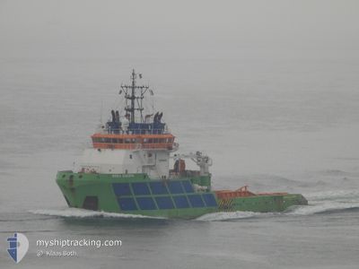
BOKA SHERPA
Tug
Current Trip
| Time Travelled | 22 days |
|---|---|
| Remaining Time | --- |
| Distance Travelled | 1693.56 nm |
| Remaining Distance | 6.00 nm |
| AVG Speed | 8.7 Knots |
| MAX Speed | 12.4 Knots |
| AVG Wind | 7.4 knots |
| MAX Wind | 20.5 knots |
| MIN Temp | 25.2°C / 77.36°F |
| MAX Temp | 31.5°C / 88.7°F |
| Draught | 6.3 m |
| Position Received | 9 d ago |
Current Position
| Longitude | 103.61533° |
|---|---|
| Latitude | 1.20276° |
| Status | Under way using engine |
| Speed | 10.8 Knots |
| Course | 282.5° |
| Area | Singapore Strait |
| Station | T-AIS |
| Position Received | 9 d ago |
Info
Information
The current position of BOKA SHERPA is in Singapore Strait with coordinates 1.20276° / 103.61533° as reported on 2024-04-10 09:08 by AIS to our vessel tracker app. The vessel's current speed is 10.8 Knots and is heading at the port of KAKINADA. The estimated time of arrival as calculated by MyShipTracking vessel tracking app is 2024-04-18 02:30 LT
The vessel BOKA SHERPA (IMO: 9315563, MMSI: 248787000) is a Tug that was built in 2005 ( 19 years old ). It's sailing under the flag of [MT] Malta.
In this page you can find informations about the vessels current position, last detected port calls, and current voyage information. If the vessels is not in coverage by AIS you will find the latest position.
The current position of BOKA SHERPA is detected by our AIS receivers and we are not responsible for the reliability of the data. The last position was recorded while the vessel was in Coverage by the Ais receivers of our vessel tracking app.
The current draught of BOKA SHERPA as reported by AIS is 6.3 meters
Weather
| Temperature | 27.7°C / 81.86°F |
|---|---|
| Wind Speed | 9 knots |
| Direction | 232° SW |
| Pressure | 1006.9 hPa |
| Humidity | 89.2 % |
| Cloud Coverage | 100 % |
Featured Company
Events
| Time | Event | Details | Position / Dest | Info |
|---|---|---|---|---|
| 2024-04-19 17:08 | STOP Moving | 8 nm, East of KAKINADA |
16.98667 / 82.44833
IN KAK
|
Speed: Course: -1° |
| 2024-04-18 02:14 | STOP Moving | 4.75 nm, North East of KAKINADA |
16.99333 / 82.38167
IN KAK
|
Speed: Course: -1° |
| 2024-04-10 09:14 | Status Changed | Default Under way using engine |
1.20603 / 103.59740
IN KAK
|
Speed: 10.8 kn Course: 282.5° |
| 2024-04-10 09:08 | OUT of Coverage |
1.20276 / 103.61533
Singapore Strait
IN KAK
|
Speed: 10.8 kn Course: 282.5° |
|
| 2024-04-10 09:01 | Change Sea Area | Indonesian part of the Singapore Strait Singaporean part of the Singapore Strait |
1.20022 / 103.63330
Singapore Strait
IN KAK
|
Speed: 11.1 kn Course: 264.3° |
| 2024-04-10 08:05 | START Moving | 0.93 nm, South of BUKOM ISLAND |
1.22109 / 103.75325
IN KAK
|
Speed: 6.7 kn Course: 263.7° |
| 2024-04-10 07:04 | ETA Changed | 2024/04/18 02:30 2024/04/22 02:30 |
1.22185 / 103.75587
IN KAK
|
Speed: Course: 112° |
| 2024-04-10 06:58 | Status Changed | Under way using engine At anchor |
1.22190 / 103.75583
IN KAK
|
Speed: Course: 106° |
| 2024-04-10 06:58 | Draught Changed | 6.3 6.2 |
1.22191 / 103.75582
IN KAK
|
Speed: Course: 106° |
| 2024-04-10 05:55 | Status Changed | At anchor Default |
1.22175 / 103.75584
IN KAK
|
Speed: Course: 96° |