
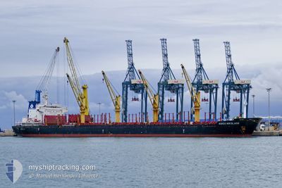
AGIOS NIKOLAOS
Bulk Carrier
Current Trip
AR ROS
| Time Travelled | 18 h, 53 mins |
|---|---|
| Remaining Time | --- |
| Distance Travelled | 181.68 nm |
| Remaining Distance | --- |
| AVG Speed | 10.1 Knots |
| MAX Speed | 13 Knots |
| AVG Wind | 6.6 knots |
| MAX Wind | 14 knots |
| MIN Temp | 19.5°C / 67.1°F |
| MAX Temp | 34.3°C / 93.74°F |
| Draught | 6.2 m |
| Position Received | 11 d ago |
Current Position
| Longitude | --- |
|---|---|
| Latitude | --- |
| Status | Under way using engine |
| Speed | 12.3 Knots |
| Course | 198° |
| Area | South Atlantic Ocean |
| Station | T-AIS |
| Position Received | 11 d ago |
Info
Information
The current position of AGIOS NIKOLAOS is in South Atlantic Ocean with coordinates -28.32656° / -48.24815° as reported on 2024-12-02 02:05 by AIS to our vessel tracker app. The vessel's current speed is 12.3 Knots
The vessel AGIOS NIKOLAOS (IMO: 9502776, MMSI: 636020106) is a Bulk Carrier that was built in 2010 ( 14 years old ). It's sailing under the flag of [LR] Liberia.
In this page you can find informations about the vessels current position, last detected port calls, and current voyage information. If the vessels is not in coverage by AIS you will find the latest position.
The current position of AGIOS NIKOLAOS is detected by our AIS receivers and we are not responsible for the reliability of the data. The last position was recorded while the vessel was in Coverage by the Ais receivers of our vessel tracking app.
The current draught of AGIOS NIKOLAOS as reported by AIS is 6.2 meters
Weather
| Temperature | 20.2°C / 68.36°F |
|---|---|
| Wind Speed | 9 knots |
| Direction | 151° SSE |
| Pressure | 1008.8 hPa |
| Humidity | 82.1 % |
| Cloud Coverage | 100 % |
Featured Company
Last Trips
| Origin | Departure | Destination | Arrival | Distance | |
|---|---|---|---|---|---|
| 2024-12-01 07:05 | 2024-12-09 00:09 | 1082.37 nm | |||
| 2024-09-25 11:52 | 2024-11-25 17:04 | 6959.38 nm |
Events
| Time | Event | Details | Position / Dest | Info |
|---|---|---|---|---|
| 2024-12-12 12:34 | PORT DEPARTURE |
|
-33.18359 / -60.35737
AR ROS
|
Speed: 9.8 kn Course: 67° |
| 2024-12-12 09:01 | START Moving |
-33.03258 / -60.58102
[AR] ROSARIO
|
Speed: 4.9 kn Course: 336° |
|
| 2024-12-11 01:41 | STOP Moving |
-33.03829 / -60.57864
[AR] ROSARIO
|
Speed: 0.2 kn Course: 329° |
|
| 2024-12-10 23:52 | START Moving |
-33.12647 / -60.49840
[AR] ROSARIO
|
Speed: 6.7 kn Course: 335° |
|
| 2024-12-09 04:26 | STOP Moving |
-33.13091 / -60.48970
[AR] ROSARIO
|
Speed: 0.2 kn Course: 327° |
|
| 2024-12-09 03:09 | PORT ARRIVAL |
|
-33.18525 / -60.37072
[AR] ROSARIO
|
Speed: 10 kn Course: 256° |
| 2024-12-07 18:03 | START Moving | 15.08 nm, South of PIRIAPOLIS |
-35.11729 / -55.19855
AR ROS
|
Speed: 4.3 kn Course: 288° |
| 2024-12-04 18:00 | STOP Moving | 15.1 nm, South of PIRIAPOLIS |
-35.11683 / -55.19514
AR ROS
|
Speed: 0.3 kn Course: 195° |
| 2024-12-04 17:33 | START Moving | 15.14 nm, South West of PUNTA DEL ESTE |
-35.11935 / -55.18829
AR ROS
|
Speed: 4.1 kn Course: 258° |
| 2024-12-04 17:15 | STOP Moving | 15.15 nm, South of PIRIAPOLIS |
-35.11749 / -55.19445
AR ROS
|
Speed: 0.2 kn Course: 215° |