
MYGAS
Tanker
Current Trip
| Time Travelled | 5 days |
|---|---|
| Remaining Time | --- |
| Distance Travelled | 38.02 nm |
| Remaining Distance | --- |
| AVG Speed | 11.9 Knop |
| MAX Speed | 14.9 Knop |
| AVG Wind | 12.5 knots |
| MAX Wind | 18.8 knots |
| MIN Temp | 20.5°C / 68.9°F |
| MAX Temp | 23.7°C / 74.66°F |
| Djupgående | 6.3 m |
| Position mottagen | 8 h, 31 m sen |
Current Position
| Longitud | -94.53867° |
|---|---|
| Latitude | 29.35070° |
| Status | At anchor |
| Fart | |
| Kurs | 139° |
| Område | Gulf of Mexico |
| Station | T-AIS |
| Position mottagen | 8 h, 31 m sen |
Info
Information
The current position of MYGAS is in Gulf of Mexico with coordinates 29.35070° / -94.53867° as reported on 2024-04-20 06:57 by AIS to our vessel tracker app. The vessel's current speed is 0 Knop
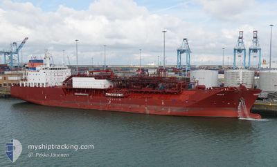
The vessel MYGAS (IMO: 9694397, MMSI: 305377000) is a Tanker It's sailing under the flag of [AG] Antigua Barbuda.
In this page you can find informations about the vessels current position, last detected port calls, and current voyage information. If the vessels is not in coverage by AIS you will find the latest position.
The current position of MYGAS is detected by our AIS receivers and we are not responsible for the reliability of the data. The last position was recorded while the vessel was in Coverage by the Ais receivers of our vessel tracking app.
The current draught of MYGAS as reported by AIS is 6.3 meters
Weather
| Temperature | 22.8°C / 73.04°F |
|---|---|
| Wind Speed | 9 knots |
| Direction | 107° ESE |
| Pressure | 1017.2 hPa |
| Humidity | 92.7 % |
| Cloud Coverage | 100 % |
Featured Company
Events
| Tid | Event | Detaljer | Position / Dest | Information |
|---|---|---|---|---|
| 2024-04-20 07:00 | Status ändrad | Default At anchor |
29.35069 / -94.53869
ANCHORAGE
|
Fart: Kurs: 139° |
| 2024-04-20 06:57 | Status ändrad | At anchor Default |
29.35070 / -94.53867
ANCHORAGE
|
Fart: Kurs: 138° |
| 2024-04-20 06:57 | UTANFÖR täckningsområde |
29.35070 / -94.53867
Gulf of Mexico
|
Fart: Kurs: 213.2° |
|
| 2024-04-20 06:54 | I täckningsområde |
29.35070 / -94.53867
Gulf of Mexico
|
Fart: Kurs: 213.2° |
|
| 2024-04-20 05:54 | Status ändrad | Default At anchor |
29.35077 / -94.53859
ANCHORAGE
|
Fart: 0.1 kn Kurs: 134° |
| 2024-04-20 05:48 | Status ändrad | At anchor Default |
29.35069 / -94.53871
ANCHORAGE
|
Fart: Kurs: 139° |
| 2024-04-20 05:48 | UTANFÖR täckningsområde |
29.35069 / -94.53871
Gulf of Mexico
|
Fart: 0.1 kn Kurs: 213.2° |
|
| 2024-04-20 05:24 | Status ändrad | Default At anchor |
29.35067 / -94.53871
ANCHORAGE
|
Fart: 0.1 kn Kurs: 134° |
| 2024-04-20 05:18 | Status ändrad | At anchor Default |
29.35067 / -94.53874
ANCHORAGE
|
Fart: Kurs: 131° |
| 2024-04-20 05:09 | Status ändrad | Default At anchor |
29.35065 / -94.53875
ANCHORAGE
|
Fart: 0.1 kn Kurs: 135° |