
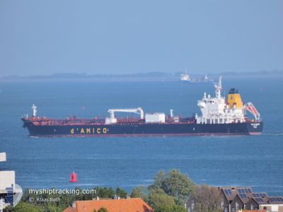
CIELO DI SALERNO
Tanker
Current Trip
| Time Travelled | 22 h, 35 mins |
|---|---|
| Remaining Time | 6 days |
| Distance Travelled | 262.43 nm |
| Remaining Distance | 1992.73 nm |
| AVG Speed | 11.9 Knop |
| MAX Speed | 12.8 Knop |
| AVG Wind | 16.8 knots |
| MAX Wind | 20 knots |
| MIN Temp | 19.7°C / 67.46°F |
| MAX Temp | 20.9°C / 69.62°F |
| Djupgående | 8.2 m |
| Position mottagen | 9 h, 54 m sen |
Current Position
| Longitud | -17.54816° |
|---|---|
| Latitude | 22.74920° |
| Status | Under way using engine |
| Fart | 12.3 Knop |
| Kurs | 14.7° |
| Område | North Atlantic Ocean |
| Station | T-AIS |
| Position mottagen | 9 h, 54 m sen |
Info
Information
The current position of CIELO DI SALERNO is in North Atlantic Ocean with coordinates 22.74920° / -17.54816° as reported on 2024-04-19 05:17 by AIS to our vessel tracker app. The vessel's current speed is 12.3 Knop and is heading at the port of ANTWERP. The estimated time of arrival as calculated by MyShipTracking vessel tracking app is 2024-04-26 14:16 LT
The vessel CIELO DI SALERNO (IMO: 9717292, MMSI: 249775000) is a Tanker It's sailing under the flag of [MT] Malta.
In this page you can find informations about the vessels current position, last detected port calls, and current voyage information. If the vessels is not in coverage by AIS you will find the latest position.
The current position of CIELO DI SALERNO is detected by our AIS receivers and we are not responsible for the reliability of the data. The last position was recorded while the vessel was in Coverage by the Ais receivers of our vessel tracking app.
The current draught of CIELO DI SALERNO as reported by AIS is 8.2 meters
Weather
| Temperature | 20.6°C / 69.08°F |
|---|---|
| Wind Speed | 11 knots |
| Direction | 24° NNE |
| Pressure | 1016.2 hPa |
| Humidity | 84.3 % |
| Cloud Coverage | 100 % |
Featured Company
Events
| Tid | Event | Detaljer | Position / Dest | Information |
|---|---|---|---|---|
| 2024-04-19 06:09 | Status ändrad | Default Under way using engine |
22.92667 / -17.51667
MR NDB=>>BE ANR
|
Fart: 12.3 kn Kurs: 14.7° |
| 2024-04-19 05:17 | Status ändrad | Under way using engine Default |
22.74920 / -17.54816
MR NDB=>>BE ANR
|
Fart: 12.4 kn Kurs: 8° |
| 2024-04-19 05:17 | I täckningsområde |
22.74920 / -17.54816
North Atlantic Ocean
MR NDB=>>BE ANR
|
Fart: 12.3 kn Kurs: 14.7° |
|
| 2024-04-19 05:17 | UTANFÖR täckningsområde |
22.74920 / -17.54816
North Atlantic Ocean
MR NDB=>>BE ANR
|
Fart: 12.3 kn Kurs: 14.7° |
|
| 2024-04-18 22:39 | Status ändrad | Default Under way using engine |
21.38423 / -17.68933
MR NDB=>>BE ANR
|
Fart: 12.4 kn Kurs: 341.7° |
| 2024-04-18 22:36 | UTANFÖR täckningsområde |
21.37529 / -17.68638
North Atlantic Ocean
MR NDB=>>BE ANR
|
Fart: 12.4 kn Kurs: 341.7° |
|
| 2024-04-18 22:12 | Status ändrad | Under way using engine Default |
21.29303 / -17.66029
MR NDB=>>BE ANR
|
Fart: 12.4 kn Kurs: 346° |
| 2024-04-18 22:05 | I täckningsområde |
21.30185 / -17.66289
North Atlantic Ocean
MR NDB=>>BE ANR
|
Fart: 12.4 kn Kurs: 343.8° |
|
| 2024-04-18 21:06 | Status ändrad | Default Under way using engine |
21.09289 / -17.54734
MR NDB=>>BE ANR
|
Fart: 12.1 kn Kurs: 321.3° |
| 2024-04-18 20:46 | UTANFÖR täckningsområde |
21.04023 / -17.50062
North Atlantic Ocean
MR NDB=>>BE ANR
|
Fart: 12.1 kn Kurs: 321.3° |