
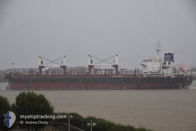
ASTRO ORION
Cargo
Current Trip
| Time Travelled | 8 h, 24 mins |
|---|---|
| Remaining Time | 1 day |
| Distance Travelled | 30.84 nm |
| Remaining Distance | 359.34 nm |
| AVG Speed | 10.5 Knop |
| MAX Speed | 12.8 Knop |
| AVG Wind | 17 knots |
| MAX Wind | 21 knots |
| MIN Temp | 11.9°C / 53.42°F |
| MAX Temp | 12.6°C / 54.68°F |
| Djupgående | 11 m |
| Position mottagen | 21 d sen |
Current Position
| Longitud | --- |
|---|---|
| Latitude | --- |
| Status | Under way using engine |
| Fart | 12 Knop |
| Kurs | 328° |
| Område | South Pacific Ocean |
| Station | T-AIS |
| Position mottagen | 21 d sen |
Info
Information
The current position of ASTRO ORION is in South Pacific Ocean with coordinates -25.79081° / 167.34387° as reported on 2025-11-16 11:33 by AIS to our vessel tracker app. The vessel's current speed is 12 Knop and is heading at the port of TAICANG. The estimated time of arrival as calculated by MyShipTracking vessel tracking app is 2025-12-09 01:04 LT
The vessel ASTRO ORION (IMO: 9767326, MMSI: 311000503) is a Cargo It's sailing under the flag of [BS] Bahamas.
In this page you can find informations about the vessels current position, last detected port calls, and current voyage information. If the vessels is not in coverage by AIS you will find the latest position.
The current position of ASTRO ORION is detected by our AIS receivers and we are not responsible for the reliability of the data. The last position was recorded while the vessel was in Coverage by the Ais receivers of our vessel tracking app.
The current draught of ASTRO ORION as reported by AIS is 11 meters
Weather
| Temperature | 10.8°C / 51.44°F |
|---|---|
| Wind Speed | 20 knots |
| Direction | 21° NNE |
| Pressure | 1027.7 hPa |
| Humidity | 43.7 % |
| Cloud Coverage | 50 % |
Featured Company
Most Visited Ports (Last year)
| Port | Arrivals | |
|---|---|---|
| 2 | ||
| 2 | ||
| 1 | ||
| 1 | ||
| 1 | ||
| 1 |
Events
| Tid | Event | Detaljer | Position / Dest | Information |
|---|---|---|---|---|
| 2025-12-07 10:07 | STOPPAR förflyttning |
35.05220 / 119.99331
CN TAC
|
Fart: 0.2 kn Kurs: 34° |
|
| 2025-12-07 06:45 | AVGÅTT HAMN |
|
35.06942 / 119.39011
CN TAC
|
Fart: 11.7 kn Kurs: 132° |
| 2025-12-07 06:37 | STARTAR förflyttning |
35.08670 / 119.36848
[CN] LANSHAN
|
Fart: 8.8 kn Kurs: 147° |
|
| 2025-12-04 03:12 | STOPPAR förflyttning |
35.09434 / 119.37259
[CN] LANSHAN
|
Fart: 0.1 kn Kurs: 352° |
|
| 2025-12-04 03:09 | STARTAR förflyttning |
35.09438 / 119.37264
[CN] LANSHAN
|
Fart: 11.1 kn Kurs: 352° |
|
| 2025-12-02 08:12 | STOPPAR förflyttning |
35.09300 / 119.36481
[CN] LANSHAN
|
Fart: Kurs: 232° |
|
| 2025-12-02 07:17 | ANLÄNDER HAMN |
|
35.07294 / 119.38519
[CN] LANSHAN
|
Fart: 3.9 kn Kurs: 314° |