
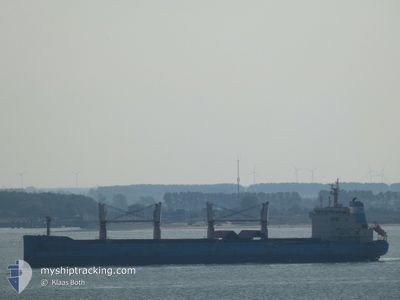
NORDIC NANJING
Bulk Carrier
Current Trip
Current Position
| Долгота | -2.28346° |
|---|---|
| Широта | 49.91627° |
| Статус | Under way using engine |
| Скорость | 9.3 Узлы |
| Курс | 71.3° |
| Район | English Channel |
| Станция | T-AIS |
| Позиция Получена | 1 m тому назад |
Info
Information
The current position of NORDIC NANJING is in English Channel with coordinates 49.91627° / -2.28346° as reported on 2024-04-24 15:21 by AIS to our vessel tracker app. The vessel's current speed is 9.3 Узлы and is heading at the port of AMSTERDAM. The estimated time of arrival as calculated by MyShipTracking vessel tracking app is 2024-04-26 00:52 LT
The vessel NORDIC NANJING (IMO: 9647291, MMSI: 636018580) is a Bulk Carrier that was built in 2013 ( 11 лет ). It's sailing under the flag of [LR] Liberia.
In this page you can find informations about the vessels current position, last detected port calls, and current voyage information. If the vessels is not in coverage by AIS you will find the latest position.
The current position of NORDIC NANJING is detected by our AIS receivers and we are not responsible for the reliability of the data. The last position was recorded while the vessel was in Coverage by the Ais receivers of our vessel tracking app.
The current draught of NORDIC NANJING as reported by AIS is 8.6 meters
Weather
| Temperature | 9°C / 48.2°F |
|---|---|
| Wind Speed | 2 knots |
| Direction | 182° S |
| Pressure | 1016 hPa |
| Humidity | 71.5 % |
| Cloud Coverage | 78 % |
Featured Company
Events
| Время | Событие | Детали | Позиция / Направление | Информация |
|---|---|---|---|---|
| 2024-04-24 13:10 | Статус изменился | Under way using engine Default |
49.82616 / -2.78338
NL AMS
|
Скорость: 9.7 kn Курс: 73° |
| 2024-04-24 12:54 | Статус изменился | Default Under way using engine |
49.81483 / -2.84430
NL AMS
|
Скорость: 9.9 kn Курс: 76.9° |
| 2024-04-24 12:45 | Статус изменился | Under way using engine Default |
49.80900 / -2.88138
NL AMS
|
Скорость: 10 kn Курс: 62° |
| 2024-04-24 12:14 | Статус изменился | Default Under way using engine |
49.76937 / -3.00207
NL AMS
|
Скорость: 10.4 kn Курс: 64.7° |
| 2024-04-24 12:08 | Изменение морского района | Guernsey part of the English Channel French part of the English Channel |
49.76177 / -3.02680
English Channel
NL AMS
|
Скорость: 10.4 kn Курс: 64.5° |
| 2024-04-24 12:06 | Статус изменился | Under way using engine Default |
49.75967 / -3.03348
NL AMS
|
Скорость: 10.5 kn Курс: 63° |
| 2024-04-24 11:58 | В покрытии |
49.76177 / -3.02680
English Channel
NL AMS
|
Скорость: 10.4 kn Курс: 64.5° |
|
| 2024-04-24 08:54 | Статус изменился | Default Under way using engine |
49.46085 / -3.81417
NL AMS
|
Скорость: 11.5 kn Курс: 58.2° |
| 2024-04-24 08:48 | Вне покрытия |
49.45051 / -3.83984
English Channel
NL AMS
|
Скорость: 11.5 kn Курс: 58.2° |
|
| 2024-04-24 08:48 | Статус изменился | Under way using engine Default |
49.45023 / -3.84053
NL AMS
|
Скорость: 11.5 kn Курс: 59° |