
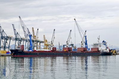
ADELINA
Bulk Carrier
Current Trip
| Time Travelled | 37 days |
|---|---|
| Remaining Time | 2 days |
| Distance Travelled | 10089.43 морская миля |
| Remaining Distance | 660.29 морская миля |
| AVG Speed | 11.2 Узлы |
| MAX Speed | 15 Узлы |
| AVG Wind | 12.7 knots |
| MAX Wind | 32.4 knots |
| MIN Temp | 12.8°C / 55.04°F |
| MAX Temp | 29.8°C / 85.64°F |
| Осадка | 8.9 м |
| Позиция Получена | 11 h, 22 m тому назад |
Current Position
| Долгота | -9.37806° |
|---|---|
| Широта | 43.74921° |
| Статус | Under way using engine |
| Скорость | 9.2 Узлы |
| Курс | 26.8° |
| Район | North Atlantic Ocean |
| Станция | T-AIS |
| Позиция Получена | 11 h, 22 m тому назад |
Info
Information
The current position of ADELINA is in North Atlantic Ocean with coordinates 43.74921° / -9.37806° as reported on 2024-04-18 17:23 by AIS to our vessel tracker app. The vessel's current speed is 9.2 Узлы and is heading at the port of VLISSINGEN. The estimated time of arrival as calculated by MyShipTracking vessel tracking app is 2024-04-21 20:42 LT
The vessel ADELINA (IMO: 9595785, MMSI: 215521000) is a Bulk Carrier that was built in 2012 ( 12 лет ). It's sailing under the flag of [MT] Malta.
In this page you can find informations about the vessels current position, last detected port calls, and current voyage information. If the vessels is not in coverage by AIS you will find the latest position.
The current position of ADELINA is detected by our AIS receivers and we are not responsible for the reliability of the data. The last position was recorded while the vessel was in Coverage by the Ais receivers of our vessel tracking app.
The current draught of ADELINA as reported by AIS is 8.9 meters
Weather
| Temperature | 12.8°C / 55.04°F |
|---|---|
| Wind Speed | 21 knots |
| Direction | 82° E |
| Pressure | 1022.5 hPa |
| Humidity | 84.6 % |
| Cloud Coverage | 1 % |
Featured Company
Events
| Время | Событие | Детали | Позиция / Направление | Информация |
|---|---|---|---|---|
| 2024-04-18 17:29 | Статус изменился | Default Under way using engine |
43.76324 / -9.36935
FLUSHING
|
Скорость: 9.2 kn Курс: 26.8° |
| 2024-04-18 17:23 | Вне покрытия |
43.74921 / -9.37806
North Atlantic Ocean
FLUSHING
|
Скорость: 9.2 kn Курс: 26.8° |
|
| 2024-04-18 16:42 | Статус изменился | Under way using engine Default |
43.65770 / -9.43645
FLUSHING
|
Скорость: 8.5 kn Курс: 29° |
| 2024-04-18 16:23 | Статус изменился | Default Under way using engine |
43.61591 / -9.46759
FLUSHING
|
Скорость: 8.6 kn Курс: 29.1° |
| 2024-04-18 15:59 | Статус изменился | Under way using engine Default |
43.56725 / -9.50660
FLUSHING
|
Скорость: 8.8 kn Курс: 35° |
| 2024-04-18 15:29 | Статус изменился | Default Under way using engine |
43.50544 / -9.55891
FLUSHING
|
Скорость: 8.7 kn Курс: 30° |
| 2024-04-18 15:26 | Статус изменился | Under way using engine Default |
43.50058 / -9.56278
FLUSHING
|
Скорость: 8.9 kn Курс: 30° |
| 2024-04-18 14:58 | Статус изменился | Default Under way using engine |
43.44138 / -9.61050
FLUSHING
|
Скорость: 8.5 kn Курс: 28.8° |
| 2024-04-18 14:11 | Обнаружено в море | Spanish part of the North Atlantic Ocean |
43.34090 / -9.68322
North Atlantic Ocean
FLUSHING
|
Скорость: 8.5 kn Курс: 30.1° |
| 2024-04-18 14:11 | Статус изменился | Under way using engine Default |
43.34016 / -9.68374
FLUSHING
|
Скорость: 9.2 kn Курс: 30° |