
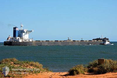
NORD FERRUM
Cargo
Current Trip
SG,SIN >> GN BRP
| Time Travelled | 42 days |
|---|---|
| Remaining Time | --- |
| Distance Travelled | 10365.46 nm |
| Remaining Distance | --- |
| AVG Speed | 11 Knopen |
| MAX Speed | 15.8 Knopen |
| AVG Wind | 13.5 knots |
| MAX Wind | 35 knots |
| MIN Temp | 12.7°C / 54.86°F |
| MAX Temp | 30.3°C / 86.54°F |
| Diepgang | 8.8 M |
| Positie ontvangen | 1 d geleden |
Current Position
| Lengtegraad | -14.77462° |
|---|---|
| Breedtegraat | 10.36265° |
| Status | At anchor |
| Snelheid | 0.1 Knopen |
| Koers | 208° |
| Gebied | North Atlantic Ocean |
| Station | T-AIS |
| Positie ontvangen | 1 d geleden |
Info
Information
The current position of NORD FERRUM is in North Atlantic Ocean with coordinates 10.36265° / -14.77462° as reported on 2024-04-18 05:33 by AIS to our vessel tracker app. The vessel's current speed is 0.1 Knopen
The vessel NORD FERRUM (IMO: 9587386, MMSI: 538004425) is a Cargo It's sailing under the flag of [MH] Marshall Is.
In this page you can find informations about the vessels current position, last detected port calls, and current voyage information. If the vessels is not in coverage by AIS you will find the latest position.
The current position of NORD FERRUM is detected by our AIS receivers and we are not responsible for the reliability of the data. The last position was recorded while the vessel was in Coverage by the Ais receivers of our vessel tracking app.
The current draught of NORD FERRUM as reported by AIS is 8.8 meters
Weather
| Temperature | 26.6°C / 79.88°F |
|---|---|
| Wind Speed | 12 knots |
| Direction | 217° SW |
| Pressure | 1008.5 hPa |
| Humidity | 74.3 % |
| Cloud Coverage | 39 % |
Featured Company
Events
| Tijd | Evenement | Details | Positie / Bestemming | Info |
|---|---|---|---|---|
| 2024-04-18 05:59 | Status Changed | Default At anchor |
10.36167 / -14.77333
SG,SIN >> GN BRP
|
Snelheid: 0.1 kn Koers: 208° |
| 2024-04-18 05:33 | Gevonden in zee | Guinean part of the North Atlantic Ocean |
10.36265 / -14.77462
North Atlantic Ocean
SG,SIN >> GN BRP
|
Snelheid: 0.1 kn Koers: 267° |
| 2024-04-18 05:33 | Status Changed | At anchor Default |
10.36265 / -14.77462
SG,SIN >> GN BRP
|
Snelheid: Koers: -1° |
| 2024-04-18 05:33 | Binnenbereik |
10.36265 / -14.77462
North Atlantic Ocean
SG,SIN >> GN BRP
|
Snelheid: 0.1 kn Koers: 267° |
|
| 2024-04-18 05:33 | Buitenbereik |
10.36265 / -14.77462
North Atlantic Ocean
SG,SIN >> GN BRP
|
Snelheid: 0.1 kn Koers: 267° |
|
| 2024-04-17 20:50 | Stop beweging | 18.71 nm, South West of KAMSAR |
10.35833 / -14.77333
SG,SIN >> GN BRP
|
Snelheid: Koers: -1° |
| 2024-04-17 18:56 | Start beweging |
10.17167 / -14.80833
SG,SIN >> GN BRP
|
Snelheid: 5 kn Koers: 357° |
|
| 2024-04-17 18:38 | Stop beweging |
10.16167 / -14.80667
SG,SIN >> GN BRP
|
Snelheid: Koers: -1° |