
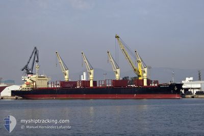
QUEEN ISLAND
Cargo
Current Trip
| Time Travelled | 9 days |
|---|---|
| Remaining Time | --- |
| Distance Travelled | 760.69 nm |
| Remaining Distance | --- |
| AVG Speed | 11.7 Knopen |
| MAX Speed | 14.2 Knopen |
| AVG Wind | 10.7 knots |
| MAX Wind | 24.9 knots |
| MIN Temp | 10.8°C / 51.44°F |
| MAX Temp | 21.3°C / 70.34°F |
| Diepgang | 6.8 M |
| Positie ontvangen | 7 d geleden |
Current Position
| Lengtegraad | 139.63490° |
|---|---|
| Breedtegraat | 34.66882° |
| Status | Under way using engine |
| Snelheid | 12.8 Knopen |
| Koers | 186.7° |
| Gebied | Philippine Sea |
| Station | T-AIS |
| Positie ontvangen | 7 d geleden |
Info
Information
The current position of QUEEN ISLAND is in Philippine Sea with coordinates 34.66882° / 139.63490° as reported on 2024-04-12 10:02 by AIS to our vessel tracker app. The vessel's current speed is 12.8 Knopen
The vessel QUEEN ISLAND (IMO: 9741188, MMSI: 354141000) is a Cargo It's sailing under the flag of [PA] Panama.
In this page you can find informations about the vessels current position, last detected port calls, and current voyage information. If the vessels is not in coverage by AIS you will find the latest position.
The current position of QUEEN ISLAND is detected by our AIS receivers and we are not responsible for the reliability of the data. The last position was recorded while the vessel was in Coverage by the Ais receivers of our vessel tracking app.
The current draught of QUEEN ISLAND as reported by AIS is 6.8 meters
Weather
| Temperature | 19.4°C / 66.92°F |
|---|---|
| Wind Speed | 9 knots |
| Direction | 215° SW |
| Pressure | 1013.8 hPa |
| Humidity | 76 % |
| Cloud Coverage | 78 % |
Featured Company
Most Visited Ports (Last year)
| Port | Arrivals | |
|---|---|---|
| 2 | ||
| 2 | ||
| 2 | ||
| 1 | ||
| 1 | ||
| 1 |
Last Trips
Events
| Tijd | Evenement | Details | Positie / Bestemming | Info |
|---|---|---|---|---|
| 2024-04-19 18:00 | Stop beweging |
32.18808 / 132.50931
JP ANE OFF > JP OIT
|
Snelheid: 0.3 kn Koers: 147° |
|
| 2024-04-17 12:38 | Stop beweging |
32.08333 / 132.53500
JP ANE OFF > JP OIT
|
Snelheid: Koers: -1° |
|
| 2024-04-17 07:15 | Start beweging |
32.15411 / 132.05382
JP ANE OFF > JP OIT
|
Snelheid: 8.1 kn Koers: 93° |
|
| 2024-04-16 16:41 | Stop beweging |
32.11500 / 132.33501
JP ANE OFF > JP OIT
|
Snelheid: Koers: -1° |
|
| 2024-04-16 05:14 | Start beweging | 17.3 nm, East of MIMITSU |
32.27500 / 131.94501
JP ANE OFF > JP OIT
|
Snelheid: 7 kn Koers: 102° |
| 2024-04-16 00:08 | Stop beweging |
32.28833 / 132.08333
JP ANE OFF > JP OIT
|
Snelheid: Koers: -1° |
|
| 2024-04-15 07:08 | Start beweging |
32.18167 / 132.04334
JP ANE OFF > JP OIT
|
Snelheid: 7 kn Koers: 106° |
|
| 2024-04-14 13:08 | Stop beweging |
32.10833 / 132.58501
JP ANE OFF > JP OIT
|
Snelheid: Koers: -1° |
|
| 2024-04-12 10:08 | Status Changed | Default Under way using engine |
34.64834 / 139.63167
JP ANE OFF > JP OIT
|
Snelheid: 12.8 kn Koers: 186.7° |
| 2024-04-12 10:02 | Buitenbereik |
34.66882 / 139.63490
Philippine Sea
JP ANE OFF > JP OIT
|
Snelheid: 12.8 kn Koers: 186.7° |